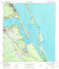
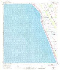
1948 Map of St. Lucie Inlet
USGS Topo · Published 1971About this map
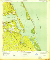
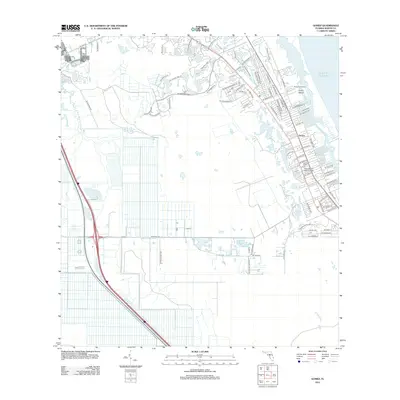
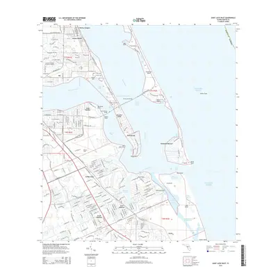
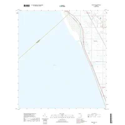
Stuart serves as the hub of this coastal Florida landscape, where the confluence of the Indian River and St Lucie River creates a complex network of waterways. This 1948 survey, updated with 1970 aerial data, reveals a mid-century coastal environment defined by maritime activity and aviation. The prominent aviation footprint of Witham Field sits just south of the main settlement, while the Florida East Coast railway establishes the primary north-south transportation corridor through Jensen Beach and Port Salerno. Residential developments like Ocean Breeze Park and Snug Harbor indicate the area's transition into a seasonal destination. To the east, the barrier landscape of Hutchinson Island remains relatively sparse, punctuated by landmarks like the Lookout Tower and narrow passages such as Hole in the Wall near the St Lucie Inlet.
Find a feature on this map
56 named features on this map. Tap any name to fly to it.
Don’t see what you’re looking for? This feature index may not catch every label — zoom into the map to look around manually.
Map Details
Editions of this 1948 St. Lucie Inlet Map
4 editions found

Historical Maps of Jensen Beach Through Time
49 maps found
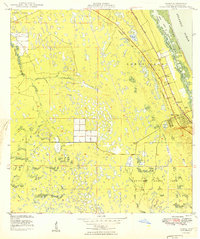
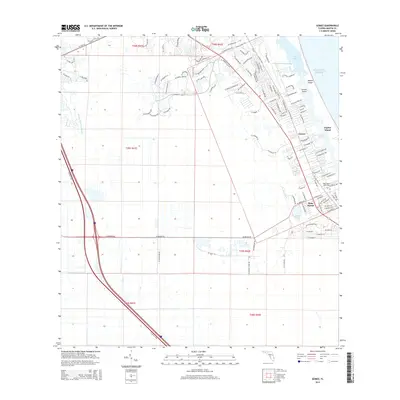
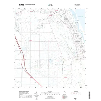
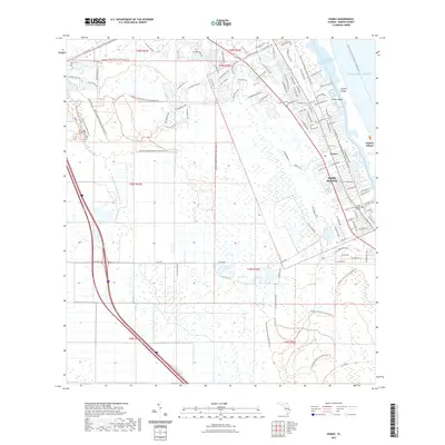
1948 Gomez
Martin County, FL
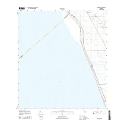
1948 St. Lucie Inlet
Martin County, FL
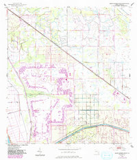
1949 Gomez
Martin County, FL
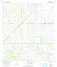
1950 St. Lucie Inlet
Martin County, FL
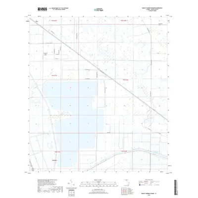
1953 Barley Barber Swamp
Martin County, FL
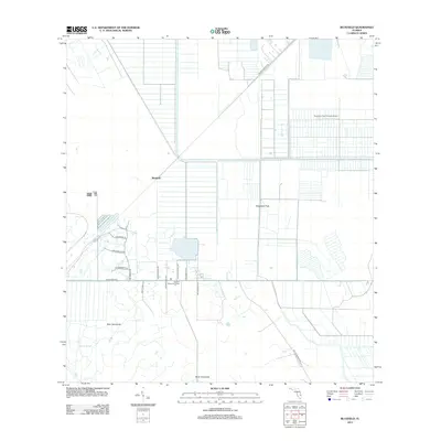
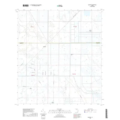
1953 Bluefield
Martin County, FL
1953 Chaney Bay
Martin County, FL
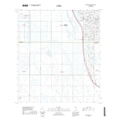
1953 Indiantown NW
Martin County, FL
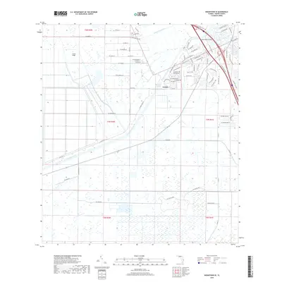
1953 Indiantown SE
Martin County, FL
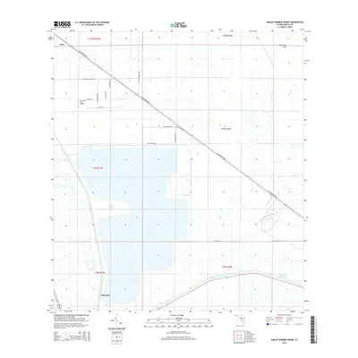
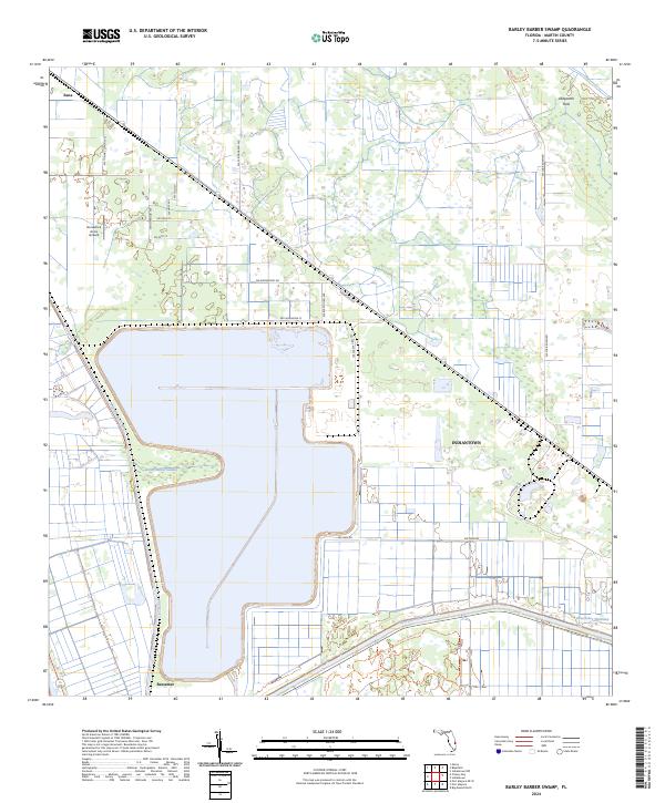
2012 Barley Barber Swamp
Martin County, FL
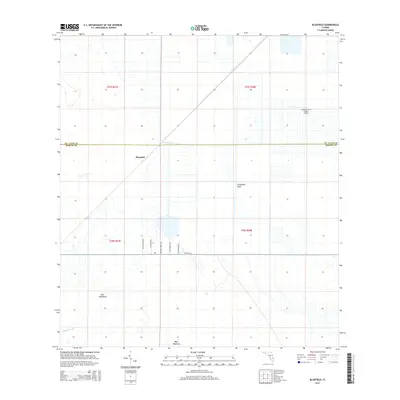
2012 Bluefield
Martin County, FL

2012 Chancy Bay
Martin County, FL
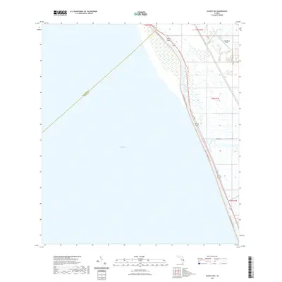
2012 Gomez
Martin County, FL
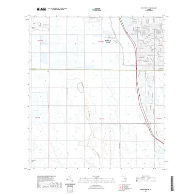
2012 Indiantown NW
Martin County, FL
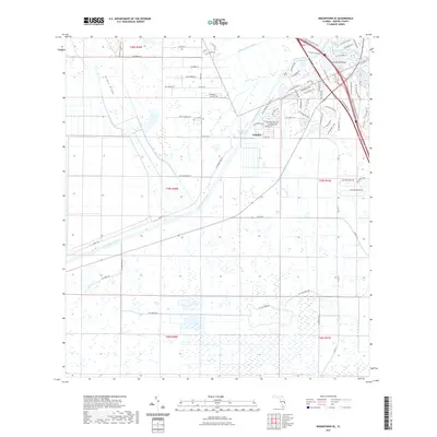
2012 Indiantown SE
Martin County, FL
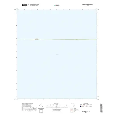
2012 Port Mayaca OE W
Martin County, FL
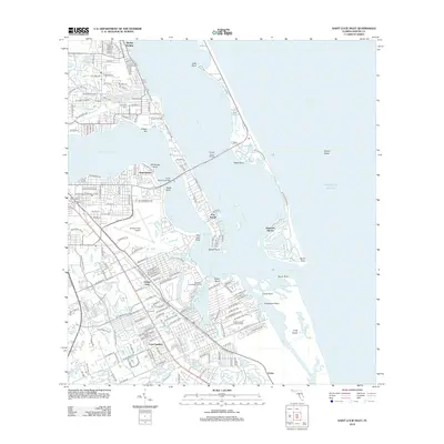
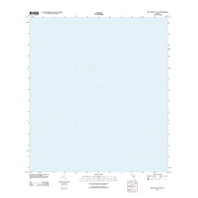
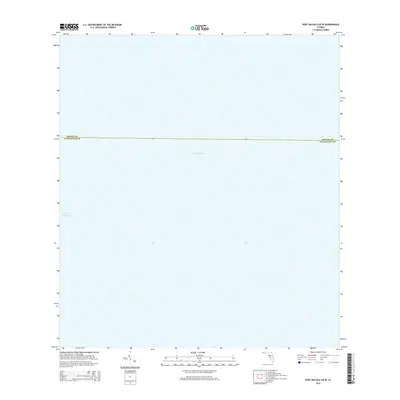
2012 Saint Lucie Inlet
Martin County, FL
2015 Barley Barber Swamp
Martin County, FL
2015 Bluefield
Martin County, FL
2015 Chancy Bay
Martin County, FL
2015 Gomez
Martin County, FL
2015 Indiantown NW
Martin County, FL
2015 Indiantown SE
Martin County, FL
2015 Port Mayaca OE W
Martin County, FL
2015 Saint Lucie Inlet
Martin County, FL
2018 Barley Barber Swamp
Martin County, FL
2018 Bluefield
Martin County, FL
2018 Chancy Bay
Martin County, FL
2018 Gomez
Martin County, FL
2018 Indiantown NW
Martin County, FL
2018 Indiantown SE
Martin County, FL
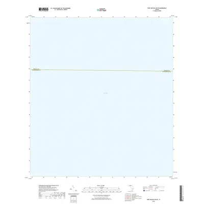
2018 Port Mayaca OE W
Martin County, FL
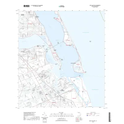
2018 Saint Lucie Inlet
Martin County, FL

2021 Barley Barber Swamp
Martin County, FL
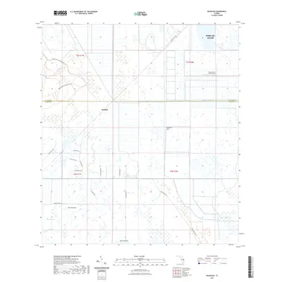
2021 Bluefield
Martin County, FL
2021 Chancy Bay
Martin County, FL
2021 Gomez
Martin County, FL
2021 Indiantown NW
Martin County, FL
2021 Indiantown SE
Martin County, FL
2021 Port Mayaca OE W
Martin County, FL

2021 Saint Lucie Inlet
Martin County, FL
2024 Barley Barber Swamp
Martin County, FL
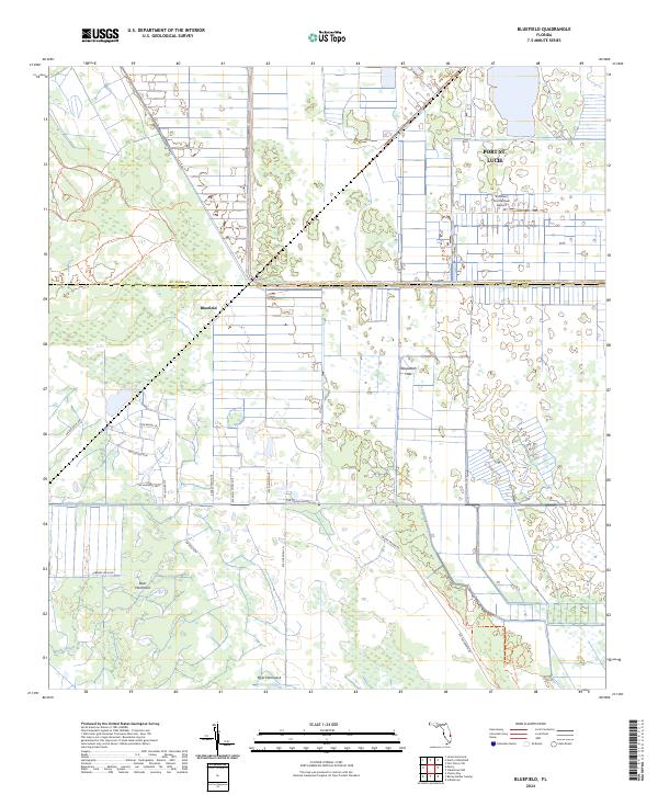
2024 Bluefield
Martin County, FL
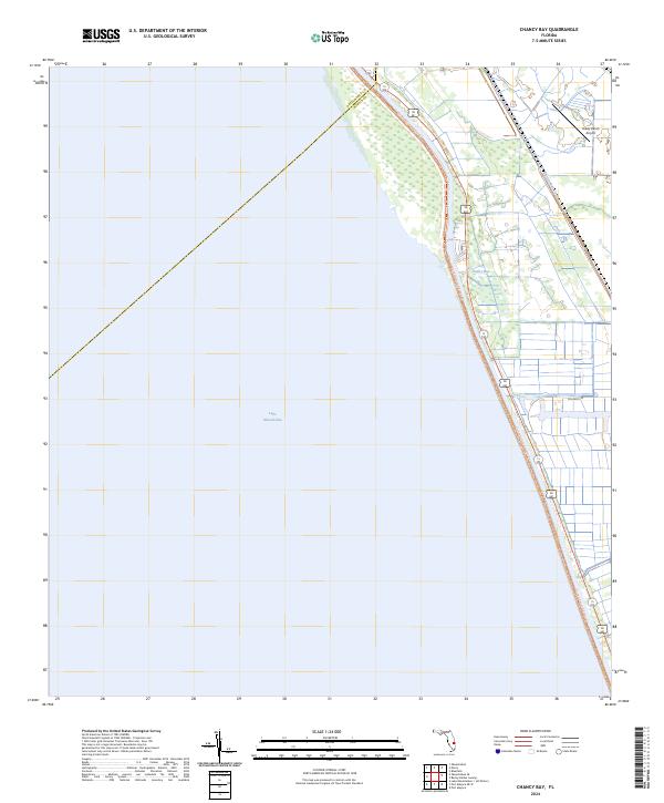
2024 Chancy Bay
Martin County, FL
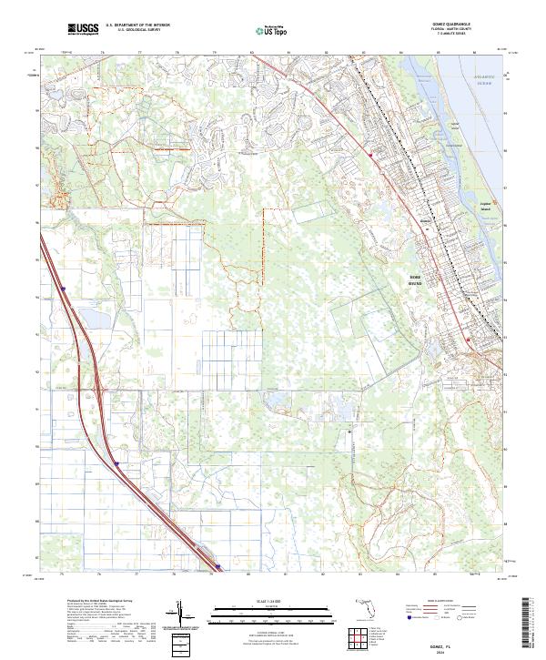
2024 Gomez
Martin County, FL
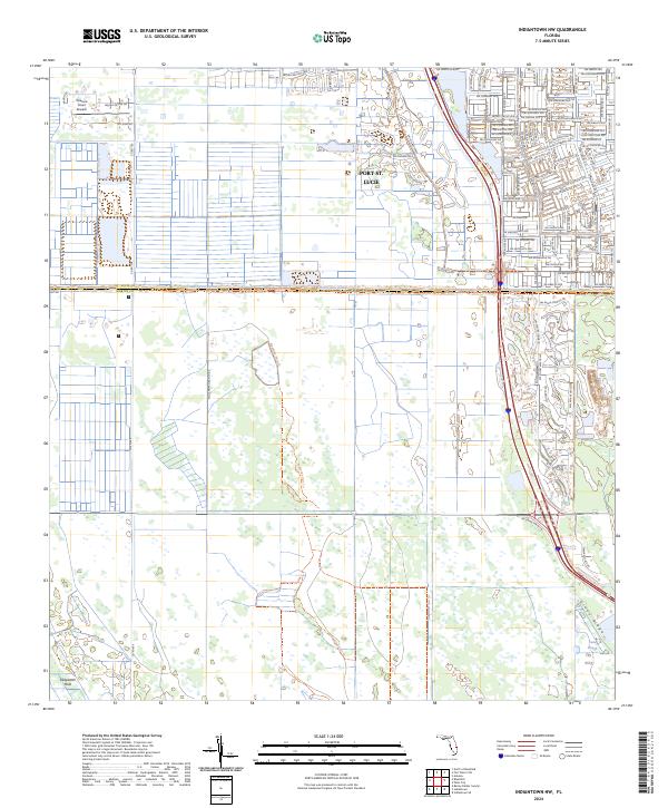
2024 Indiantown NW
Martin County, FL
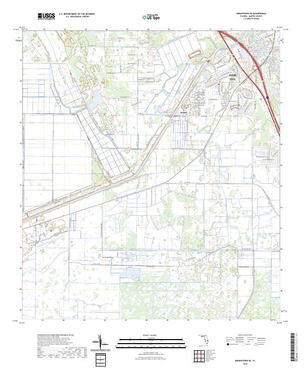
2024 Indiantown SE
Martin County, FL
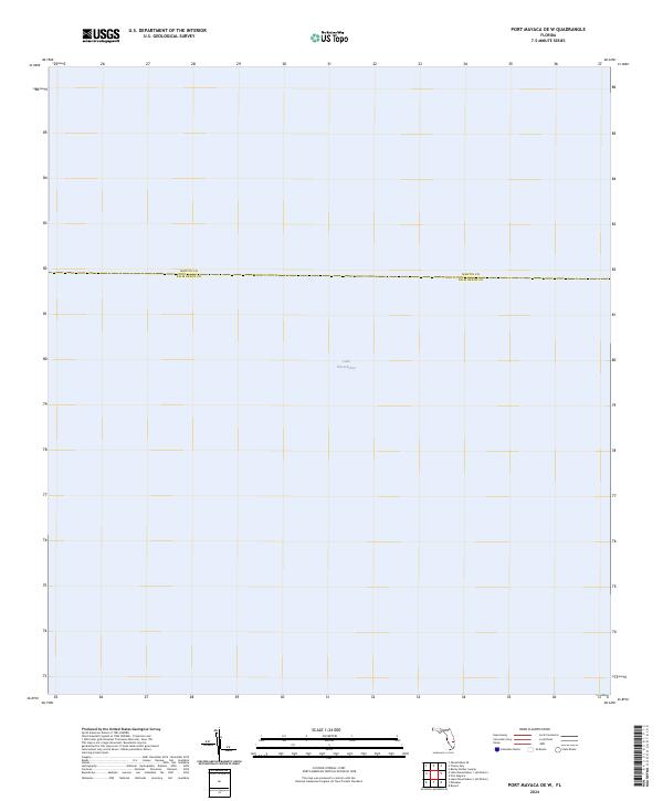
2024 Port Mayaca OE W
Martin County, FL
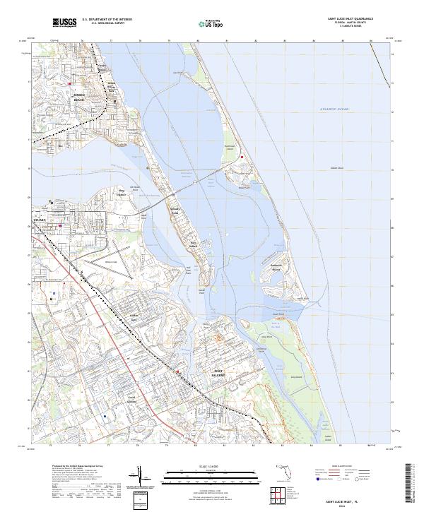
2024 Saint Lucie Inlet
Martin County, FL