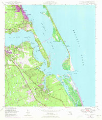
1948 Map of St Lucie Inlet
USGS Topo · Published 1973About this map
Stuart and the surrounding coastline of the Hanson Grant appear here at a moment of transition, showing both the established maritime infrastructure and burgeoning mid-century developments. The confluence of the St Lucie River and Indian River defines the landscape, with the St Lucie Inlet providing a critical passage to the Atlantic Ocean. Aviation and rail history are anchored by the presence of Witham Field and the Florida East Coast railroad line, which supported the growth of communities like Jensen Beach, Port Salerno, and Rio. The intricate network of waterways, including the Intracoastal Waterway and various coves like Manatee Pocket and Bessie Cove, highlights the area's deep-rooted connection to the water. Residential expansion is visible through newer additions like Ocean Breeze Park and Coral Gardens, while the land tenure of the Gomez Grant points to the region's historic Spanish land-grant origins.
Find a feature on this map
58 named features on this map. Tap any name to fly to it.
Don’t see what you’re looking for? This feature index may not catch every label — zoom into the map to look around manually.
Map Details
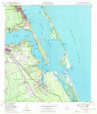
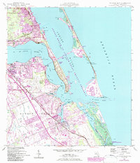
Editions of this 1948 St Lucie Inlet Map
4 editions found
Other maps of this area

1948 · Palm City
USGS Topo · 1:24,000

1948 · Ankona
USGS Topo · 1:24,000

1948 · St. Lucie Inlet
USGS Topo · 1:24,000

1948 · Gomez
USGS Topo · 1:24,000

1948 · Hobe Sound
USGS Topo · 1:24,000

1948 · Eden
USGS Topo · 1:24,000

1949 · Gomez
USGS Topo · 1:24,000

1949 · Hobe Sound
USGS Topo · 1:24,000

1950 · St. Lucie Inlet
USGS Topo · 1:24,000

1950 · Ankona
USGS Topo · 1:24,000