1948 Map of Rood
USGS Topo · Published 1974About this map
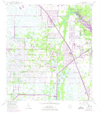
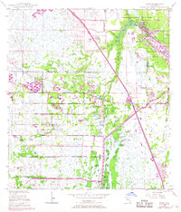
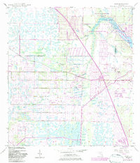
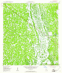
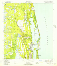
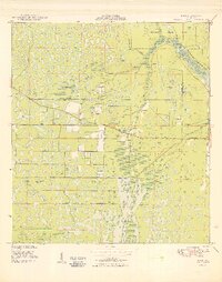
Loxahatchee Slough and the winding course of the Loxahatchee River dominate this landscape on the border of Martin and Palm Beach counties. The map documents a period of significant infrastructure development, most notably the path of Florida's Turnpike and Interchange 48, which slice through the wetlands and agricultural grid. Near the settlement of Rood, a complex network of drainage canals and a prominent Levee demonstrate the mid-century efforts to manage the South Florida water table for residential and agricultural expansion.
Find a feature on this map
18 named features on this map. Tap any name to fly to it.
Don’t see what you’re looking for? This feature index may not catch every label — zoom into the map to look around manually.
Map Details
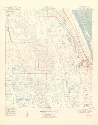
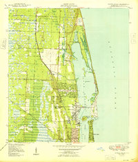
Editions of this 1948 Rood Map
5 editions found

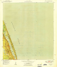
Other maps of this area
1945 · Delta
USGS Topo · 1:24,000
1946 · Riviera Beach
USGS Topo · 1:24,000
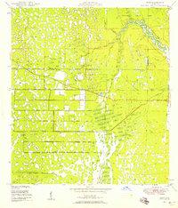
1948 · Rood
USGS Topo · 1:24,000
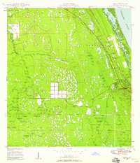
1948 · Gomez
USGS Topo · 1:24,000
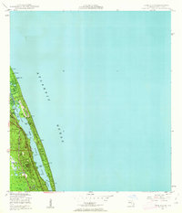
1948 · Hobe Sound
USGS Topo · 1:24,000

1948 · Jupiter
USGS Topo · 1:24,000
1949 · Rood
USGS Topo · 1:24,000
1949 · Gomez
USGS Topo · 1:24,000
1949 · Riviera Beach
USGS Topo · 1:24,000
1949 · Hobe Sound
USGS Topo · 1:24,000