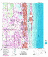
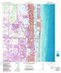
1946 Map of Palm Beach
USGS Topo · Published 1986About this map
The barrier island of Palm Beach and the mainland city of West Palm Beach are separated by the lagoon known as Lake Worth, as seen in this mid-century survey with revisions through the early 1980s. The landscape is defined by the heavy infrastructure of coastal Florida, including the Florida East Coast Railway and the sprawling grounds of the Palm Beach International Airport. Significant landmarks such as the Mar-A-Lago National Historic Site and the Good Samaritan Hospital are documented alongside a network of bridges like the Flagler Memorial Bridge and Royal Palm Bridge that connect the two shores.
Find a feature on this map
48 named features on this map. Tap any name to fly to it.
Don’t see what you’re looking for? This feature index may not catch every label — zoom into the map to look around manually.
Map Details
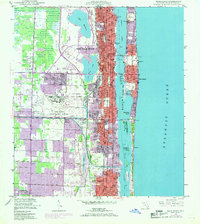
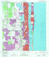
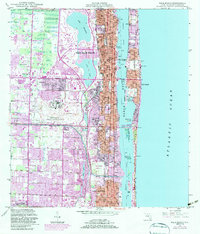
Editions of this 1946 Palm Beach Map
6 editions found
Other maps of this area

1945 · Delta
USGS Topo · 1:24,000

1945 · Greenacres City
USGS Topo · 1:24,000

1945 · Lake Worth
USGS Topo · 1:24,000

1946 · Riviera Beach
USGS Topo · 1:24,000

1946 · Palm Beach Farms
USGS Topo · 1:24,000

1946 · Palm Beach
USGS Topo · 1:24,000

1949 · Lake Worth
USGS Topo · 1:24,000

1949 · Palm Beach Farms
USGS Topo · 1:24,000

1949 · Riviera Beach
USGS Topo · 1:24,000

1950 · Greenacres City
USGS Topo · 1:24,000