Loading...
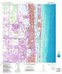
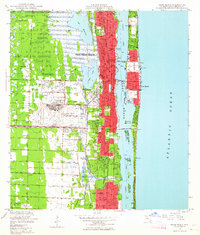
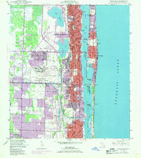
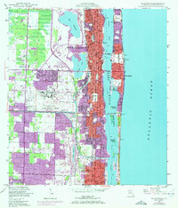
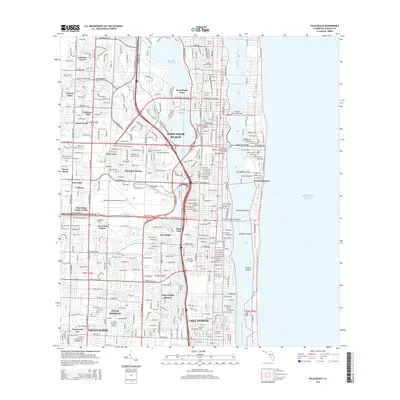
Loading map...1946 Map of Palm Beach
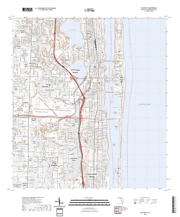
USGS Topo · Published 1986About this map
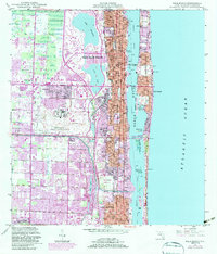
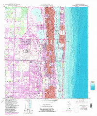
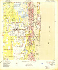
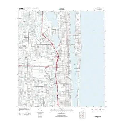
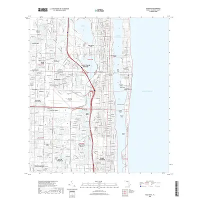
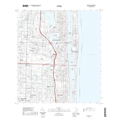
The Atlantic coast of South Florida is defined here by the barrier island of Palm Beach and the extensive urban development of West Palm Beach. This map documents the area during the mid-20th century, with later revisions showing the expansion of settlements like Palm Springs and Greenacres City. The coastal geography is dominated by Lake Worth, which separates the mainland from the oceanfront estates, including the Mar-A-Lago National Historic Site.
Find a feature on this map
45 named features on this map. Tap any name to fly to it.
Don’t see what you’re looking for? This feature index may not catch every label — zoom into the map to look around manually.
Map Details
Date Portrayed1946
Date Published1986
PublisherU.S. Geological Survey
Map TypeTopographic
Scale1:24,000
Physical Dimensions24 x 28.8 inches
Editions of this 1946 Palm Beach Map
6 editions found
Historical Maps of West Palm Beach Through Time
7 maps found
Featured Locations
Source Details
SourceU.S. Geological Survey
CopyrightPublic Domain