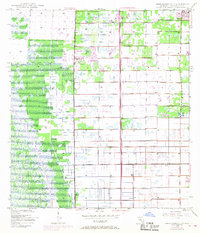
1945 Map of Greenacres City
USGS Topo · Published 1968About this map
Greenacres City occupies the northeastern corner of this landscape, reflecting early mid-century growth in Palm Beach County. The 1967 photorevisions, shown in purple, illustrate significant infrastructure development, most notably the path of the Sunshine State Parkway cutting vertically through the center of the sheet. This major transit corridor includes the Lake Worth Interchange, signaling the area's transition toward modern suburban connectivity.
Find a feature on this map
9 named features on this map. Tap any name to fly to it.
Don’t see what you’re looking for? This feature index may not catch every label — zoom into the map to look around manually.
Map Details
Editions of this 1945 Greenacres City Map
4 editions found
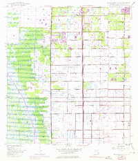
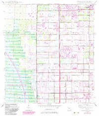
Other maps of this area

1945 · Greenacres City
USGS Topo · 1:24,000

1945 · Lake Worth
USGS Topo · 1:24,000

1946 · Palm Beach Farms
USGS Topo · 1:24,000

1946 · Palm Beach
USGS Topo · 1:24,000

1947 · Delmar Farms
USGS Topo · 1:24,000

1949 · Lake Worth
USGS Topo · 1:24,000

1949 · Palm Beach Farms
USGS Topo · 1:24,000

1949 · Delmar Farms
USGS Topo · 1:24,000

1950 · Delray Beach
USGS Topo · 1:24,000

1950 · Greenacres City
USGS Topo · 1:24,000