
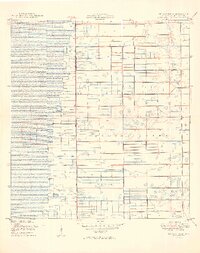
1946 Map of West Dixie Bend
USGS Topo · Published 1958About this map
The Palm Beach Co Broward Co boundary serves as the primary latitudinal axis for this 1946 survey, capturing a landscape of South Florida in transition before the arrival of modern suburban sprawl. The Hillsboro Canal cuts a prominent diagonal across the northern reach, illustrating the early drainage efforts that reshaped the Everglades into usable land. Near the eastern margin, Deerfield Beach begins its expansion along the Seaboard Air Line railroad, while the interior remains a patchwork of undeveloped wetlands and nascent agricultural grids.
Find a feature on this map
10 named features on this map. Tap any name to fly to it.
Don’t see what you’re looking for? This feature index may not catch every label — zoom into the map to look around manually.
Map Details
Editions of this 1946 West Dixie Bend Map
This is the sole edition of this map. No revisions or reprints were ever made.
Other maps of this area

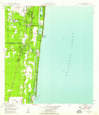
1945 · Fort Lauderdale North
USGS Topo · 1:24,000
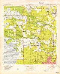
1946 · Boca Raton
USGS Topo · 1:24,000

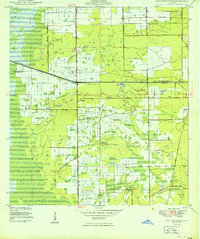
1947 · Delmar Farms
USGS Topo · 1:24,000
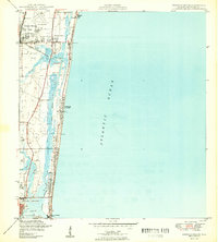
1949 · Fort Lauderdale North
USGS Topo · 1:24,000
1949 · West Dixie Bend
USGS Topo · 1:24,000
1949 · Pompano Beach
USGS Topo · 1:24,000
1949 · Delmar Farms
USGS Topo · 1:24,000
1950 · Boca Raton
USGS Topo · 1:24,000
1950 · Delray Beach
USGS Topo · 1:24,000

1956 · West Palm Beach
USGS Topo · 1:250,000