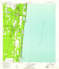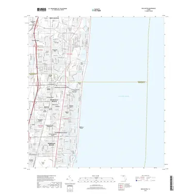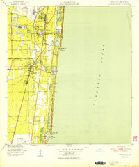
1950 Map of Boca Raton
USGS Topo · Published 1950About this map
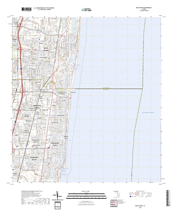
Boca Raton and the surrounding coastal communities of southeast Florida appear here just as the post-war growth began to transform the landscape. The layout of the era is defined by the dual transit corridors of the Florida East Coast and Seaboard Air Line railroads, which parallel the coastline and supported the region's early 20th-century development. Along the shore, the Intracoastal Waterway links a series of natural and engineered water bodies, including Lake Wyman and Lake Boca Raton, providing a sheltered passage for maritime traffic.
Find a feature on this map
30 named features on this map. Tap any name to fly to it.
Don’t see what you’re looking for? This feature index may not catch every label — zoom into the map to look around manually.
Map Details
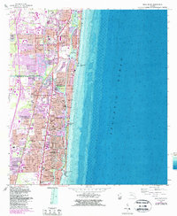
Editions of this 1950 Boca Raton Map
This is the sole edition of this map. No revisions or reprints were ever made.
Historical Maps of Pompano Beach Through Time
8 maps found