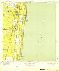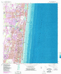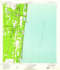
1946 Map of Boca Raton
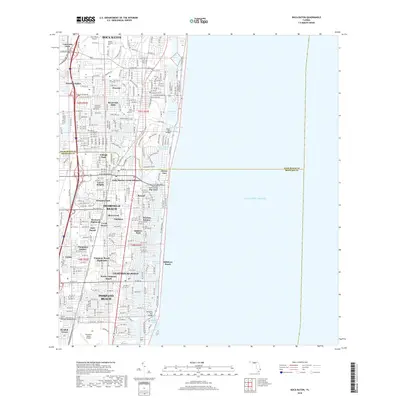
USGS Topo · Published 1958About this map
Boca Raton and the surrounding South Florida coastline appear here shortly after the war, showing a landscape defined by its waterways and early aviation infrastructure. The coastal corridor is anchored by the Intracoastal Waterway, which links Lake Wyman, Lake Boca Raton, and Lake Placid before exiting through the Hillsboro Inlet. The map reveals the critical role of rail transport in the region's development, featuring the dual routes of the Florida East Coast and Seaboard Air Line railroads running parallel to the shore. Internal drainage and land management are visible through the Hillsboro Canal and various levees, while the presence of the Boca Raton Municipal Airport and a second Municipal Airport near Pompano Beach underscores the importance of flight to this growing coastal stretch.
Find a feature on this map
24 named features on this map. Tap any name to fly to it.
Don’t see what you’re looking for? This feature index may not catch every label — zoom into the map to look around manually.
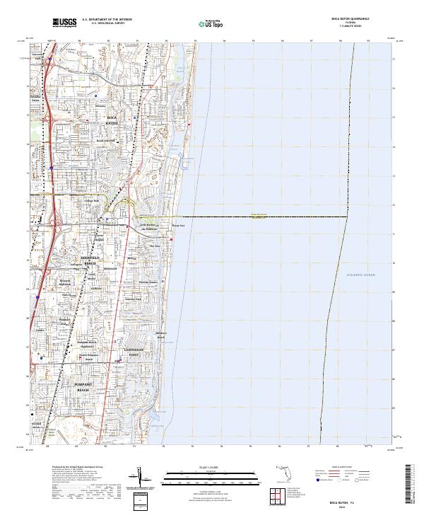
Map Details
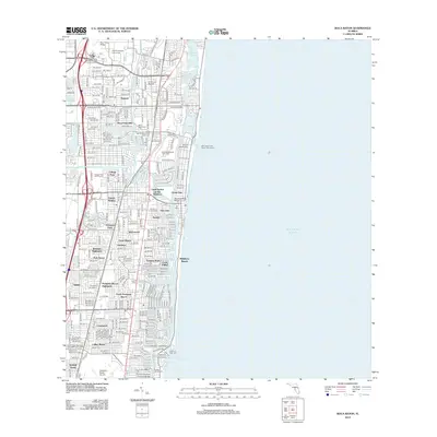
Editions of this 1946 Boca Raton Map
This is the sole edition of this map. No revisions or reprints were ever made.
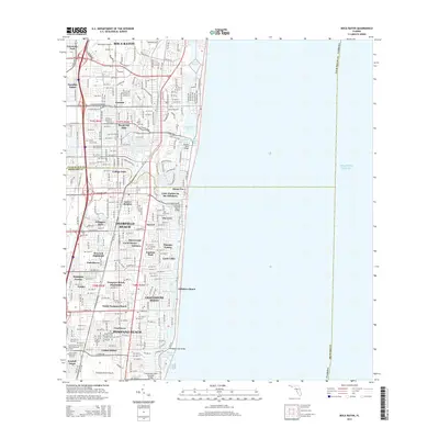
Historical Maps of Pompano Beach Through Time
8 maps found