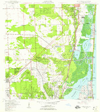
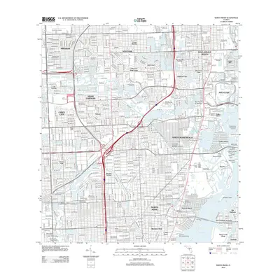
1947 Map of North Miami
USGS Topo · Published 1959About this map
The U S Naval Air Station and MacArthur Airport define the post-war landscape of northern Miami-Dade County, where aviation and rapid suburban growth intersect. This 1947 survey captures a transitional moment as the Sunshine State Toll Road and Seaboard Air Line rail infrastructure began to stitch together new residential developments like Biscayne Gardens and Biscayne Park. To the east, the Intracoastal Waterway separates the mainland from barrier island communities including Golden Beach and Bal Harbour.
Find a feature on this map
52 named features on this map. Tap any name to fly to it.
Don’t see what you’re looking for? This feature index may not catch every label — zoom into the map to look around manually.
Map Details
Editions of this 1947 North Miami Map
This is the sole edition of this map. No revisions or reprints were ever made.
Historical Maps of Miramar Through Time
10 maps found
1947 North Miami
Miami-Dade County, FL

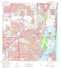
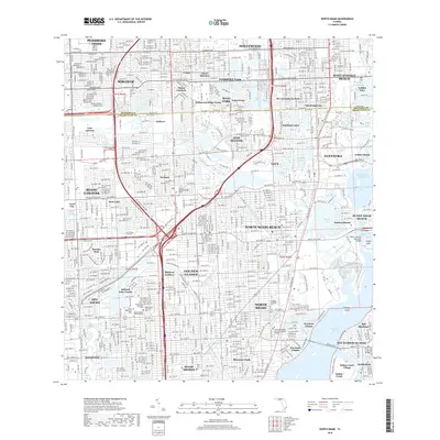
1950 North Miami
Miami-Dade County, FL
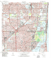
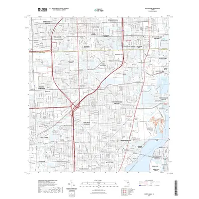
1962 North Miami
Miami-Dade County, FL
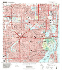
1988 North Miami
Miami-Dade County, FL
1994 North Miami
Miami-Dade County, FL
2012 North Miami
Miami-Dade County, FL

2015 North Miami
Miami-Dade County, FL
2018 North Miami
Miami-Dade County, FL
2021 North Miami
Miami-Dade County, FL
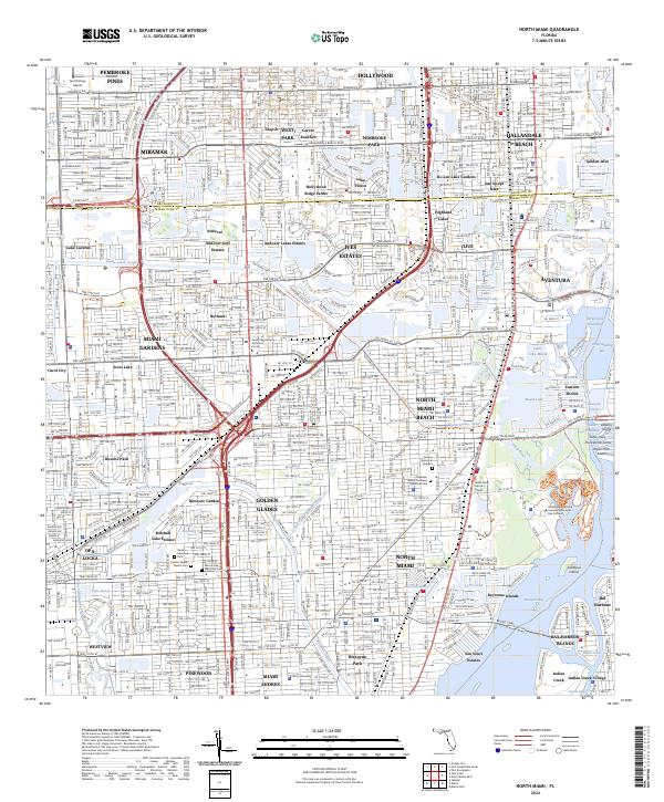
2024 North Miami
Miami-Dade County, FL