
1956 Map of Miami
USGS Topo · Published 1963About this map
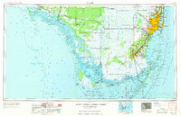
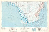
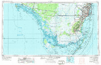
Tamiami Trail and the Tamiami Canal cut a straight line across the Southern Florida wilderness in the mid-1950s, bridging the gap between the burgeoning Atlantic coast and the Gulf of Mexico. This survey illustrates the era's rapid suburbanization in Dade County, showing early residential developments in Carol City, Hialeah Gardens, and Richmond Heights while the surrounding Everglades National Park remains a complex network of sawgrass, sloughs, and remote bays.
Find a feature on this map
203 named features on this map. Tap any name to fly to it.
Don’t see what you’re looking for? This feature index may not catch every label — zoom into the map to look around manually.
Map Details
Editions of this 1956 Miami Map
5 editions found

Other maps of this area

1947 · North Miami
USGS Topo · 1:24,000

1947 · Key Biscayne
USGS Topo · 1:24,000

1947 · Garden Cove
USGS Topo · 1:24,000

1947 · Rock Harbor
USGS Topo · 1:24,000

1947 · Blackwater Sound
USGS Topo · 1:24,000

1948 · Soldier Key
USGS Topo · 1:24,000

1949 · Blackwater Sound
USGS Topo · 1:24,000

1949 · Rock Harbor
USGS Topo · 1:24,000

1949 · Opalocka
USGS Topo · 1:24,000

1949 · Garden Cove
USGS Topo · 1:24,000