
1956 Map of Miami
USGS Topo · Published 1973About this map
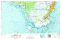
The Everglades National Park dominates the southern tip of the Florida peninsula, stretching from the mangrove-fringed Ten Thousand Islands and Ponce de Leon Bay to the shallow waters of Florida Bay. The map highlights the sharp contrast between the conserved wilderness of The Everglades and the rapid eastward expansion of the Miami metropolitan area. Along the Atlantic coast, the urban corridor reaches south through Coral Gables and Kendall toward Homestead, bounded by the Biscayne Bay shoreline and Biscayne National Monument. Inland, the Tamiami Trail serves as a critical artery through the sawgrass, punctuated by isolated sites like Pinecrest and the Tamiami Ranger Station. This 1956 compilation, revised in the early 1970s, captures the region's mid-century infrastructure, including Homestead Air Force Base and the University of Miami campus, before later large-scale development further altered the drainage patterns of the Miami Canal.
Find a feature on this map
224 named features on this map. Tap any name to fly to it.
Don’t see what you’re looking for? This feature index may not catch every label — zoom into the map to look around manually.
Map Details
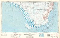
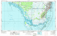
Editions of this 1956 Miami Map
5 editions found

Other maps of this area

1947 · North Miami
USGS Topo · 1:24,000

1947 · Key Biscayne
USGS Topo · 1:24,000

1947 · Garden Cove
USGS Topo · 1:24,000

1947 · Rock Harbor
USGS Topo · 1:24,000

1947 · Blackwater Sound
USGS Topo · 1:24,000

1948 · Soldier Key
USGS Topo · 1:24,000

1949 · Blackwater Sound
USGS Topo · 1:24,000

1949 · Rock Harbor
USGS Topo · 1:24,000

1949 · Opalocka
USGS Topo · 1:24,000

1949 · Garden Cove
USGS Topo · 1:24,000