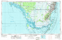
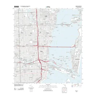
1956 Map of Miami
USGS Topo · Published 1973About this map
The vast wetlands of Everglades National Park dominate this mid-century landscape, illustrating the transition between the wild sawgrass prairies and the rapidly expanding urban corridor of South Florida. To the east, the metropolitan sprawl is already established, anchored by Coral Gables and South Miami, while the Seaboard Coast Line railroad and the iconic Tamiami Trail provide the primary transit arteries connecting the coast to the interior. The presence of Homestead Air Force Base and the University of Miami marks the area's growth into a strategic military and educational hub during the Cold War era.
Find a feature on this map
221 named features on this map. Tap any name to fly to it.
Don’t see what you’re looking for? This feature index may not catch every label — zoom into the map to look around manually.
Map Details
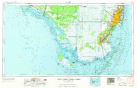
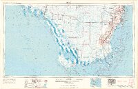
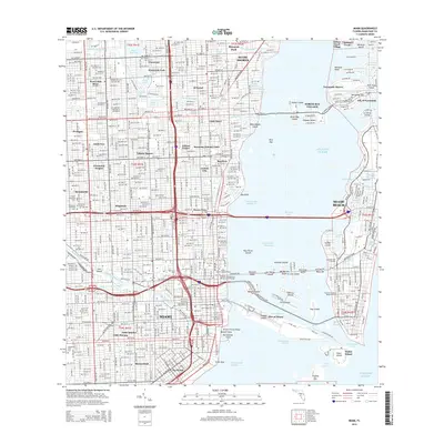
Editions of this 1956 Miami Map
5 editions found

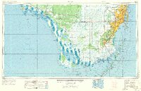
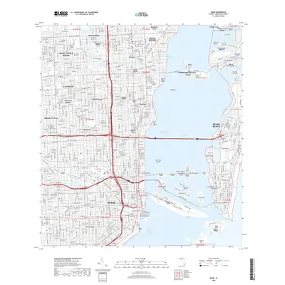
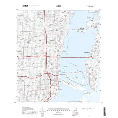
Historical Maps of Miami Through Time
13 maps found
1950 Miami
Miami-Dade County, FL
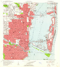
1956 Miami
Miami-Dade County, FL

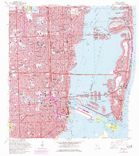
1958 Miami
Miami-Dade County, FL
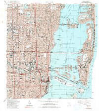
1962 Miami
Miami-Dade County, FL

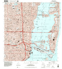
1981 Miami
Miami-Dade County, FL

1988 Miami
Miami-Dade County, FL
1988 Miami
Miami-Dade County, FL
1994 Miami
Miami-Dade County, FL
2012 Miami
Miami-Dade County, FL
2015 Miami
Miami-Dade County, FL
2018 Miami
Miami-Dade County, FL
2021 Miami
Miami-Dade County, FL
2024 Miami
Miami-Dade County, FL