Old Maps of Lake Lindsey, Florida for Metal Detecting
Plan your next treasure hunt with 11 historic maps of Lake Lindsey. Find old homesites, ghost towns, trails, and gathering spots that may be lost to time — perfect for identifying promising metal detecting locations.
- Locate forgotten sites: Uncover places like long-lost settlements, abandoned rail lines, or gathering spots.
- Plan better hunts: Use map overlays combined with LiDAR or satellite views to narrow in on historically rich areas.
- Made for detectorists: Thousands of hobbyists use these maps to discover relics, coins, and hidden history.
Use these historic maps to boost your research and find new opportunities beneath the surface of Lake Lindsey.
Lake Lindsey, FL maps
(11)- 1954 Map of Nobleton, 1955 Print
 1954 Nobleton1955 Print · USGSThe Citrus and Hernando county line comes alive in the mid-fifties, showing a landscape shaped by the phosphate industry and the Withlacoochee River. Genealogists can locate family landmarks like Frazier Cem and the Story Mine near Floral City.3 unique versions available
 - 1955 Map of Plant City, 1966 Print
 1955 Plant City1966 Print · USGSMid-century Central Florida comes to life in this survey of the Nature Coast and the inland citrus and rail belt. Genealogists and historians can trace the paths of the Atlantic Coast Line, locate the Anclote Keys Lighthouse, or find old communities like Masaryktown and Lacoochee.6 unique versions available
 - 1958 Map of Plant City
 1958 Plant City1958 Print · USGSFlorida's Gulf Coast and inland ridge country are captured here in the mid-fifties, showing the region before modern sprawl. Genealogists and historians can trace rail-era towns like Richland and Trilby or locate coastal landmarks such as the Anclote Keys Lighthouse.
 - 1959 Map of Plant City
 1959 Plant City1959 Print · USGSThe West Florida coast and inland timberlands are captured here in the late fifties, from the bend of the Gulf to the rail hubs of the interior. Trace the paths of the Atlantic Coast Line through Inverness and find landmarks like the Anclote Keys Lighthouse.
 - 1964 Map of Plant City
 1964 Plant City1964 Print · USGSThe West Florida coast and its interior rail corridors come alive in this mid-sixties survey, spanning from the gulf marshes to the agricultural heartland. Researchers can trace the routes of the Atlantic Coast Line through settlements like Bushnell, Inverness, and Plant City.
 - 1979 Map of Inverness, 1980 Print
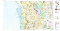 1979 Inverness1980 Print · USGSThe West Central Florida coastline and lake regions are captured here in the late seventies, showing the transition from Gulf marshes to the interior wetlands. Genealogists and researchers can locate family sites near Inverness or trace the early rail corridors of the Seaboard Coast Line through Wildwood and Okahumpka.2 unique versions available
 - 2012 Map of Nobleton, 2012 Print
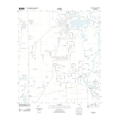 2012 Nobleton2012 Print · USGSFlorida's Withlacoochee River basin is captured here in the early 2010s, showing a network of small settlements and prairie wetlands. Genealogists can locate several burial grounds including Frazier Cem and New Church Cem near Istachatta.
 - 2015 Map of Nobleton, 2015 Print
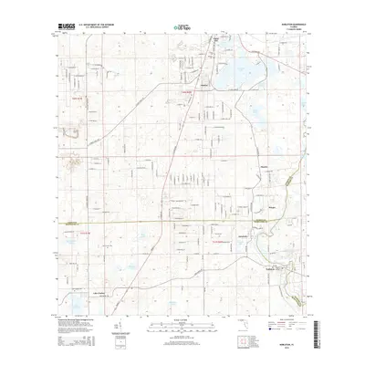 2015 Nobleton2015 Print · USGSThe tri-county border area of Citrus, Hernando, and Sumter counties comes into focus in this mid-2010s survey. Researchers can trace the winding Withlacoochee River and locate historic community landmarks like Frazier Cem and the small settlement of Istachatta.
 - 2018 Map of Nobleton, 2018 Print
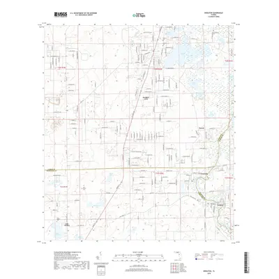 2018 Nobleton2018 Print · USGSFlorida's river-and-lake country at the junction of Citrus, Hernando, and Sumter counties is captured here in the late twenty-teens. Genealogists and local historians can trace the riverside settlements of Istachatta and Nobleton or locate the Frazier Cem and Lake Lindsey Cem.
 - 2021 Map of Nobleton, 2021 Print
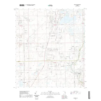 2021 Nobleton2021 Print · USGSThe Citrus and Hernando county borderlands come alive in this recent survey of the Withlacoochee river system. Genealogists and hikers can trace the edges of Floral City, locate the Lake Lindsey Cem, and explore the winding Withlacoochee State Forest Trl.
 - 2024 Map of Nobleton, 2024 Print
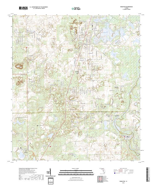 2024 Nobleton2024 Print · USGSThe riverine borders of Hernando and Citrus counties are captured here in the early twenty-first century, showing the rural networks along the Withlacoochee River. Researchers can locate several family burial sites like Frazier Cem and small settlements including Istachatta and Nobleton.
End of results
Showing maps 1-11 of 11
Top cities near Lake Lindsey
- Spring Hill historical maps
- Homosassa Springs historical maps
- Sugarmill Woods historical maps
- Brooksville historical maps
- Inverness historical maps
- Lecanto historical maps
See more
Frequently asked questions
- What are the different types of historical maps available for Lake Lindsey?
- What is the oldest map of Lake Lindsey?
- Where can I purchase historical maps of Lake Lindsey for my home or office?
- Where can I download high-res historical maps of Lake Lindsey?
- Are there historical topographic maps available for Lake Lindsey?
- Is there historical aerial imagery available for Lake Lindsey?
- Where are historical maps of Lake Lindsey sourced from?