Old Maps of Weeki Wachee Gardens, Florida for Academic Research
Study the evolution of Weeki Wachee Gardens with 12 high-resolution historic maps. Whether you're teaching, researching, or modeling changes in land use, these maps provide essential visual documentation of urban, environmental, and geographic change.
- Analyze long-term change: Track patterns in development, transportation, and natural features.
- Ideal for environmental or urban studies: Support academic projects with primary historical map data.
- Use in the classroom or lab: Educators and researchers rely on these maps to bring historical context to life.
These maps are a powerful tool for teaching, research, and visualizing how Weeki Wachee Gardens has changed over the decades.
Weeki Wachee Gardens, FL maps
(12)- 1954 Map of Bayport, 1955 Print
 1954 Bayport1955 Print · USGSCoastal Hernando County is shown in the mid-fifties as a wild expanse of tidal marsh and spring-fed rivers. Local historians can trace early settlements at Bayport and Cooglers Beach, alongside the intricate waterways of Mud River Spring and Jenkins Creek.5 unique versions available
 - 1955 Map of Plant City, 1966 Print
 1955 Plant City1966 Print · USGSMid-century Central Florida comes to life in this survey of the Nature Coast and the inland citrus and rail belt. Genealogists and historians can trace the paths of the Atlantic Coast Line, locate the Anclote Keys Lighthouse, or find old communities like Masaryktown and Lacoochee.6 unique versions available
 - 1958 Map of Plant City
 1958 Plant City1958 Print · USGSFlorida's Gulf Coast and inland ridge country are captured here in the mid-fifties, showing the region before modern sprawl. Genealogists and historians can trace rail-era towns like Richland and Trilby or locate coastal landmarks such as the Anclote Keys Lighthouse.
 - 1959 Map of Plant City
 1959 Plant City1959 Print · USGSThe West Florida coast and inland timberlands are captured here in the late fifties, from the bend of the Gulf to the rail hubs of the interior. Trace the paths of the Atlantic Coast Line through Inverness and find landmarks like the Anclote Keys Lighthouse.
 - 1964 Map of Plant City
 1964 Plant City1964 Print · USGSThe West Florida coast and its interior rail corridors come alive in this mid-sixties survey, spanning from the gulf marshes to the agricultural heartland. Researchers can trace the routes of the Atlantic Coast Line through settlements like Bushnell, Inverness, and Plant City.
 - 1979 Map of Inverness, 1980 Print
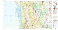 1979 Inverness1980 Print · USGSThe West Central Florida coastline and lake regions are captured here in the late seventies, showing the transition from Gulf marshes to the interior wetlands. Genealogists and researchers can locate family sites near Inverness or trace the early rail corridors of the Seaboard Coast Line through Wildwood and Okahumpka.2 unique versions available
 - 2012 Map of Bayport, 2012 Print
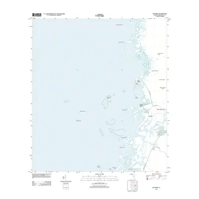 2012 Bayport2012 Print · USGSThe Hernando County coastline at the start of the 2010s reveals a delicate balance of coastal residential growth and sprawling salt marshes. Trace the winding paths of the Weeki Wachee River and Mud River as they flow past Bayport and Palm Grove Colony toward the Gulf.
 - 2015 Map of Bayport, 2015 Print
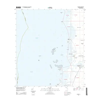 2015 Bayport2015 Print · USGSHernando County's Gulf coastline comes into sharp focus during the mid-2010s, showing a landscape of tidal marshes and river-fed settlements. Local historians can trace the development of Weeki Wachee Gardens and explore the island clusters around Bayport and Net Spread Key.
 - 2018 Map of Bayport, 2018 Print
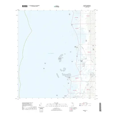 2018 Bayport2018 Print · USGSHernando County's Gulf coast is depicted here as a labyrinth of spring-fed rivers and tidal islands during the late 2010s. Trace local family history and coastal landmarks from Cooglers Beach and Bayport to the secluded reaches of Eagle Nest Island and Mud River Spring.
 - 2021 Map of Bayport, 2021 Print
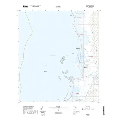 2021 Bayport2021 Print · USGSThe Hernando County coastline at the start of the 2020s shows a landscape of tidal marshes and ancient springs. Local historians and paddlers can trace the winding paths of the Weeki Wachee River and Jenkins Creek or locate landmarks like Sawmill Island and Bayport.
 - 2024 Map of Bayport, 2024 Print
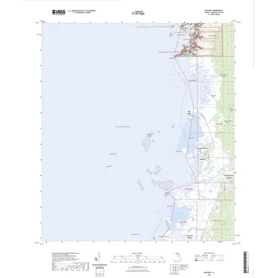 2024 Bayport2024 Print · USGSThe Hernando County coastline comes alive in this contemporary record of its unique tidal landscapes and water-fronting communities. You can trace the winding Weeki Wachee River past Weeki Wachee Gardens or explore the protected reaches of the Chassahowitzka Wilderness.
 - 2025 Map of Bayport, 2025 Print
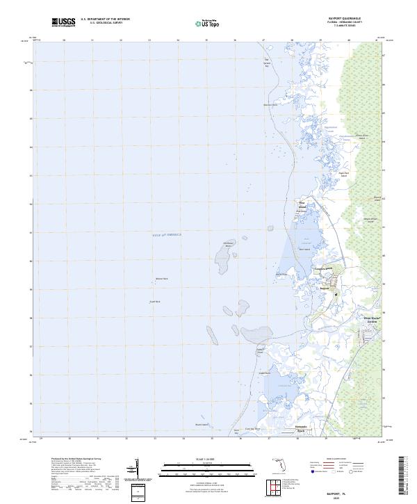 2025 Bayport2025 Print · USGSCoastal Hernando County is shown at the edge of the Gulf, where tidal marshes meet the sprawling residential canals of the modern era. Trace the labyrinth of the Chassahowitzka Swamp or locate local landmarks like Mud River Spring and Cooglers Beach.
End of results
Showing maps 1-12 of 12
Top cities near Weeki Wachee Gardens
- Spring Hill historical maps
- Bayonet Point historical maps
- Hudson historical maps
- Sugarmill Woods historical maps
- Brooksville historical maps
- Wiscon historical maps
See more
Frequently asked questions
- What are the different types of historical maps available for Weeki Wachee Gardens?
- What is the oldest map of Weeki Wachee Gardens?
- Where can I purchase historical maps of Weeki Wachee Gardens for my home or office?
- Where can I download high-res historical maps of Weeki Wachee Gardens?
- Are there historical topographic maps available for Weeki Wachee Gardens?
- Is there historical aerial imagery available for Weeki Wachee Gardens?
- Where are historical maps of Weeki Wachee Gardens sourced from?