Old Maps of Channing Park, Florida
Explore 12 old maps of Channing Park, spanning from 1955 to today. These high-resolution historic maps reveal how streets, neighborhoods, landmarks, and natural features evolved over time — perfect for genealogy, metal detecting, research, and local history exploration.
What you can do with these maps:
- See how Channing Park changed over time: Compare historical maps to modern-day views to trace roads, homesites, rail lines & more.
- View detailed metadata: Each map includes creators, publishers, year, scale, and archive source.
- Overlay maps with satellite & LiDAR: Visualize the past alongside modern tools to explore terrain & human change.
- Trusted historical sources: Maps sourced from the USGS, Library of Congress, and other archives.
- Access maps your way: View online, download high-res files, or order prints for personal or research use.
Start exploring old maps of Channing Park to uncover forgotten places, hidden landmarks, and the deep history beneath your feet.
Channing Park, FL maps
(12)- 1955 Map of Lithia, 1956 Print
 1955 Lithia1956 Print · USGSHillsborough County phosphate country comes to life in the mid-fifties as industrial mining begins to reshape the landscape. Genealogists and local historians can trace the foundations of Lithia, the Seaboard Air Line rail stops, and landmarks like the Lithia Cem and Girl Scout Camp.4 unique versions available
 - 1956 Map of Tampa, 1964 Print
 1956 Tampa1964 Print · USGSThe Florida Gulf Coast thrived in the mid-fifties, from the bustling docks of Tampa to the quiet shores of Sanibel. Genealogists and historians can trace old rail lines like the Atlantic Coast Line or find early layouts of Port Charlotte and Bokeelia.2 unique versions available
 - 1959 Map of Tampa
 1959 Tampa1959 Print · USGSThe Florida Gulf Coast appears in this late fifties survey during a period of steady coastal growth and established rail commerce. Researchers can trace historic neighborhoods and transit lines from Tampa to St Petersburg, or locate landmarks like Mac Dill AFB and Boca Grande.
 - 1960 Map of Tampa
 1960 Tampa1960 Print · USGSThe Florida Gulf Coast was undergoing a major transformation at the start of the sixties, with new bridges linking burgeoning cities across the bays. Researchers can trace the mid-century footprints of St Petersburg and Tampa, or locate coastal landmarks like Mac Dill AFB and the Sunshine Skyway.2 unique versions available
 - 1972 Map of Tampa, 1974 Print
 1972 Tampa1974 Print · USGSThe Florida Gulf Coast appears in a period of significant growth during the early seventies, from the urban centers of the bay to the quiet southern keys. Researchers can trace the expansion of St Petersburg or locate family sites near Safety Harbor, Valrico, and Boca Ciega.
 - 1981 Map of St Petersburg, 1983 Print
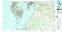 1981 St Petersburg1983 Print · USGSThe Tampa Bay region is shown here in the early eighties as the urban centers of St Petersburg and Tampa expanded along the coastline. Genealogists and historians can trace rail lines like the Seaboard Coast Line and landmarks from Mac Dill Air Force Base to the Sunshine Skyway.
 - 1988 Map of St Petersburg
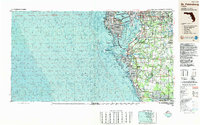 1988 St Petersburg1988 Print · USGSThe Florida Gulf Coast reached a peak of late-twentieth-century development as seen in this late-1980s look at the growing corridor from St Petersburg to Port Charlotte. Researchers can trace the expansion of coastal infrastructure, including MacDill Air Force Base, the Seaboard System RR, and regional parks like Fort De Soto Park.
 - 2012 Map of Lithia, 2012 Print
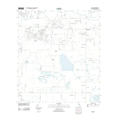 2012 Lithia2012 Print · USGSHillsborough County's landscape reflects a mix of traditional Florida hammocks and suburban growth during the early 2010s. Researchers can trace local heritage through landmarks like Lithia Cem, the rural settlement of Picnic, and natural features including Cabbage Hammock and Hurrah Lake.
 - 2015 Map of Lithia, 2015 Print
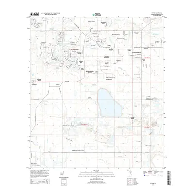 2015 Lithia2015 Print · USGSHillsborough County's transition from rural hammocks to residential clusters is captured here in the mid-2010s. Genealogists and local researchers can trace the vicinity of Lithia Cem, the historic Aldermans Ford, and landmarks like Stanchester Airport.
 - 2018 Map of Lithia, 2018 Print
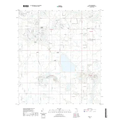 2018 Lithia2018 Print · USGSHillsborough County during its twenty-first-century expansion shows a blend of suburban growth and traditional Florida hammocks. Genealogists and local historians can trace the geography around Boyette and Lithia, or locate sites like the Lithia Cem and Stallion Hammock.
 - 2021 Map of Lithia, 2021 Print
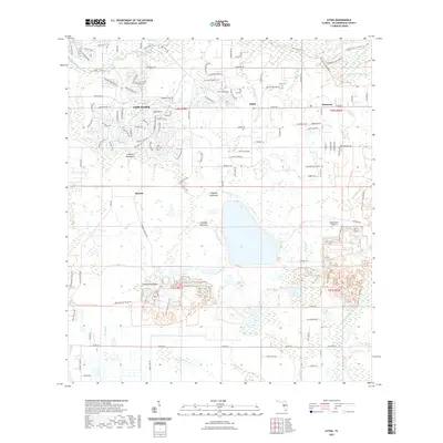 2021 Lithia2021 Print · USGSIn this modern era, the Lithia region shows a unique blend of growing suburbs and preserved Florida wetlands. Local historians can trace the landscape from Lithia Springs and the Lithia Cem to the modern residential corridors of Fish Hawk.
 - 2024 Map of Lithia, 2024 Print
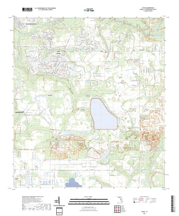 2024 Lithia2024 Print · USGSHillsborough County's interior transition from suburban expansion to riverine wilderness is captured here in the early twenty-first century. Researchers can locate the Lithia Cem, trace the remote Stanchester Airport, and explore the winding paths of the Balm Boyette Scrub Trl.
End of results
Showing maps 1-12 of 12
Frequently asked questions
- What are the different types of historical maps available for Channing Park?
- What is the oldest map of Channing Park?
- Where can I purchase historical maps of Channing Park for my home or office?
- Where can I download high-res historical maps of Channing Park?
- Are there historical topographic maps available for Channing Park?
- Is there historical aerial imagery available for Channing Park?
- Where are historical maps of Channing Park sourced from?