
1955 Map of Lithia
USGS Topo · Published 1956About this map
Lithia Springs and the Alafia River anchor this mid-century look at Hillsborough County, where the landscape is defined by the transition from natural hammocks to industrial activity. The Seaboard Air Line railroad cuts through the center of the region, serving the Lithia (Station) and connecting small rural hubs like Boyette and Picnic. Local community life is centered around the Lithia Ch and Lithia Cem, while a Girl Scout Camp sits near Browns Lakes in the west.
Find a feature on this map
39 named features on this map. Tap any name to fly to it.
Don’t see what you’re looking for? This feature index may not catch every label — zoom into the map to look around manually.
Map Details
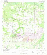
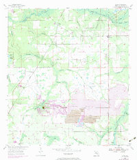
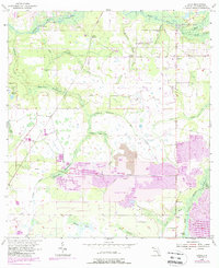
Editions of this 1955 Lithia Map
4 editions found
Other maps of this area

1921 · Tampa
USGS Topo · 1:62,500

1944 · Mango
USGS Topo · 1:31,680

1944 · Wimauma
USGS Topo · 1:31,680

1944 · Balm
USGS Topo · 1:31,680

1947 · Wimauma
USGS Topo · 1:25,000

1955 · Nichols
USGS Topo · 1:24,000

1955 · Dover
USGS Topo · 1:24,000

1955 · Keysville
USGS Topo · 1:24,000
1956 · Riverview
USGS Topo · 1:24,000

1956 · Ft Lonesome
USGS Topo · 1:24,000