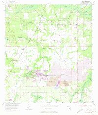
1955 Map of Lithia
USGS Topo · Published 1973About this map
The Alafia River and its numerous tributaries, including Fishhawk Creek and McCollough Branch, define this Central Florida landscape during a period of transition. Small rural settlements like Lithia (Station) and Boyette are connected by the Seaboard Coast Line railroad, which cuts through the hammocks. The 1972 photorevisions highlight the significant expansion of the phosphate industry in the region, clearly visible through the large Strip Mine operations and associated Tailings Ponds south of Chapman Hammock. These industrial features sit alongside preserved natural spaces like Coleman Hammock and Stallion Hammock, illustrating the changing use of the land. Local landmarks such as the Lithia Cem and the Girl Scout Camp provide specific points of interest for genealogists and local historians tracking the community's footprint in the mid-20th century.
Find a feature on this map
35 named features on this map. Tap any name to fly to it.
Don’t see what you’re looking for? This feature index may not catch every label — zoom into the map to look around manually.
Map Details
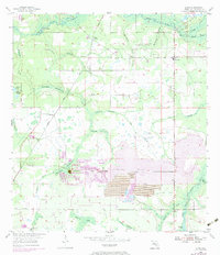
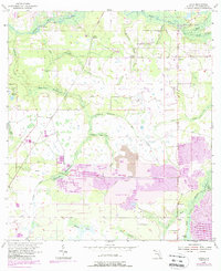
Editions of this 1955 Lithia Map
4 editions found
Other maps of this area

1921 · Tampa
USGS Topo · 1:62,500

1944 · Mango
USGS Topo · 1:31,680

1944 · Wimauma
USGS Topo · 1:31,680

1944 · Balm
USGS Topo · 1:31,680

1947 · Wimauma
USGS Topo · 1:25,000

1955 · Lithia
USGS Topo · 1:24,000

1955 · Nichols
USGS Topo · 1:24,000

1955 · Dover
USGS Topo · 1:24,000

1955 · Keysville
USGS Topo · 1:24,000
1956 · Riverview
USGS Topo · 1:24,000