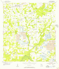
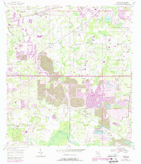
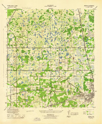
1955 Map of Dover
USGS Topo · Published 1956About this map
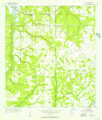
Phosphate mining and agricultural infrastructure dominate this mid-century landscape in Hillsborough County. Large-scale Strip Mine operations are evident south of Durant, where extensive Tailings, Ponds, and a Spoil Bank mark the heavy industrial use of the land. This extraction activity sits alongside established farming communities like Sydney and Bloomingdale, connected by the Atlantic Coast Line and Seaboard Air Line railroads. The map reveals a high density of rural social centers, from Jones Chapel and Ahava Ch to the Trapnell Sch. Water features such as Turkey Creek and the Alafia River wind through the terrain, while the Valrico Lookout Tower stands as a prominent local landmark amidst the wetlands of Williams Swamp.
Find a feature on this map
33 named features on this map. Tap any name to fly to it.
Don’t see what you’re looking for? This feature index may not catch every label — zoom into the map to look around manually.
Map Details
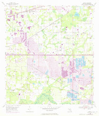
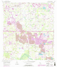
Editions of this 1955 Dover Map
5 editions found
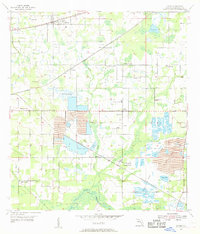
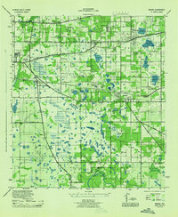
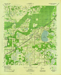
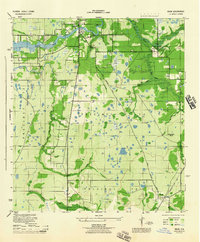
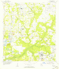
Other maps of this area

1921 · Tampa
USGS Topo · 1:62,500
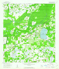
1943 · Thonotosassa
USGS Topo · 1:24,000

1944 · Plant City
USGS Topo · 1:31,680
1944 · Mango
USGS Topo · 1:31,680
1944 · Thonotosassa
USGS Topo · 1:31,680
1944 · Antioch
USGS Topo · 1:31,680
1944 · Balm
USGS Topo · 1:31,680
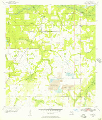
1955 · Lithia
USGS Topo · 1:24,000
1955 · Nichols
USGS Topo · 1:24,000
1955 · Keysville
USGS Topo · 1:24,000