1955 Map of Dover
USGS Topo · Published 1972About this map
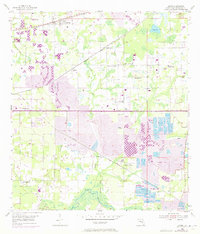
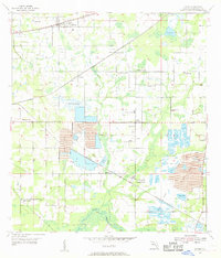
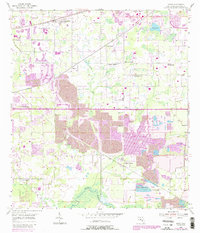
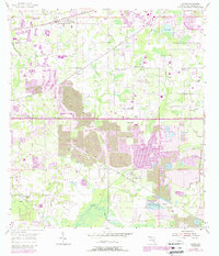
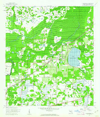
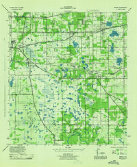
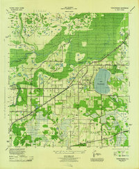
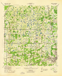
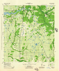
Strip mines and specialized agriculture dominate this central Florida landscape, where the Seaboard Coast Line railroad dictates the placement of rural hubs like Dover and Durant. The map documents a significant industrial footprint in the south and east, contrasted with the intensive cultivation indicated by numerous Fish Hatchery sites clustered near the northern border. Cultural life is anchored by a dense network of country institutions, including Turkey Creek School and Jones Chapel, reflecting the area's established farming communities. The terrain transitions toward the Alafia River in the south, while the Valrico Lookout Tower stands as a notable landmark overlooking the intersection of citrus groves, phosphate excavations, and small settlements like Sydney and Bloomingdale. This 1972 photo-revision provides a precise view of the changing land use patterns as post-war development began to overlay the traditional agricultural and mining economy.
Find a feature on this map
22 named features on this map. Tap any name to fly to it.
Don’t see what you’re looking for? This feature index may not catch every label — zoom into the map to look around manually.
Map Details
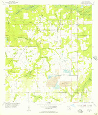
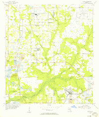
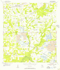
Editions of this 1955 Dover Map
5 editions found
Other maps of this area

1921 · Tampa
USGS Topo · 1:62,500
1943 · Thonotosassa
USGS Topo · 1:24,000

1944 · Plant City
USGS Topo · 1:31,680
1944 · Mango
USGS Topo · 1:31,680
1944 · Thonotosassa
USGS Topo · 1:31,680
1944 · Antioch
USGS Topo · 1:31,680
1944 · Balm
USGS Topo · 1:31,680
1955 · Lithia
USGS Topo · 1:24,000
1955 · Nichols
USGS Topo · 1:24,000
1955 · Dover
USGS Topo · 1:24,000