
1955 Map of Nichols
USGS Topo · Published 1956About this map
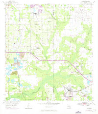
Phosphate mining and agricultural rural life define this mid-century landscape along the Hillsborough and Polk County border. The industrial presence of the Seaboard Air Line and Atlantic Coast Line railroads serves the heavy operations at Nichols and Coronet, where extensive Strip Mine works and large Tailings Pond systems are clearly delineated. These industrial sites contrast with the deeply rooted rural communities that dot the countryside, marked by numerous small churches such as Springhead Ch, Berea Ch, and Corinth Ch.
Find a feature on this map
38 named features on this map. Tap any name to fly to it.
Don’t see what you’re looking for? This feature index may not catch every label — zoom into the map to look around manually.
Map Details
Editions of this 1955 Nichols Map
4 editions found
Other maps of this area

1944 · Plant City
USGS Topo · 1:31,680

1944 · Lakeland
USGS Topo · 1:31,680

1944 · Antioch
USGS Topo · 1:31,680

1949 · Mulberry
USGS Topo · 1:24,000

1949 · Bradley Junction
USGS Topo · 1:24,000

1950 · Mulberry
USGS Topo · 1:24,000

1950 · Bradley Junction
USGS Topo · 1:24,000

1955 · Lithia
USGS Topo · 1:24,000

1955 · Dover
USGS Topo · 1:24,000

1955 · Keysville
USGS Topo · 1:24,000