
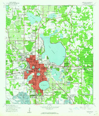
1944 Map of Lakeland
USGS Topo · Published 1944About this map
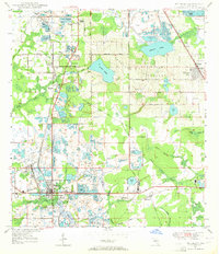
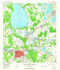
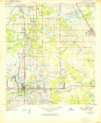
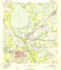
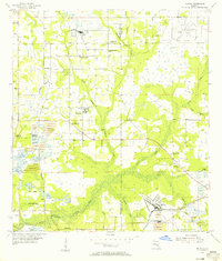
Lakeland sits at the heart of this mid-century landscape, a city defined by its relationship with water and industry. During this wartime era, the region was characterized by the sprawling Atlantic Coast Line railroad network and a heavy military presence, most notably at the Auxiliary Landing Field U S Army. The city grid is tightly concentrated between a series of freshwater bodies including Lake Parker, Lake Hollingsworth, and Lake Morton, the latter being home to Florida Southern College.
Find a feature on this map
58 named features on this map. Tap any name to fly to it.
Don’t see what you’re looking for? This feature index may not catch every label — zoom into the map to look around manually.
Map Details
Editions of this 1944 Lakeland Map
2 editions found
Other maps of this area

1944 · Plant City
USGS Topo · 1:31,680
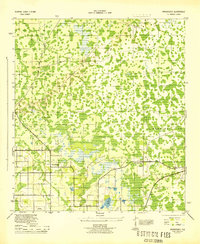
1944 · Providence
USGS Topo · 1:31,680
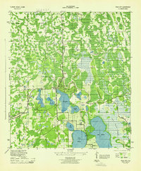
1944 · Polk City
USGS Topo · 1:31,680

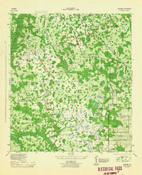
1944 · Auburndale
USGS Topo · 1:31,680
1944 · Socrum
USGS Topo · 1:31,680
1949 · Mulberry
USGS Topo · 1:24,000
1949 · Bartow
USGS Topo · 1:24,000
1950 · Mulberry
USGS Topo · 1:24,000
1950 · Bartow
USGS Topo · 1:24,000
1955 · Nichols
USGS Topo · 1:24,000