
1949 Map of Mulberry
USGS Topo · Published 1964About this map
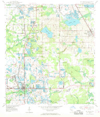
The phosphate-rich landscape of Polk County is defined here by extensive extraction sites, including numerous Strip Mines and tailings ponds surrounding the central hub of Mulberry. This mid-century survey illustrates a complex industrial environment where the Atlantic Coast Line and Seaboard Air Line railroads intersect to serve the mining operations and settlements like Kingsford and South Mulberry.
Find a feature on this map
41 named features on this map. Tap any name to fly to it.
Don’t see what you’re looking for? This feature index may not catch every label — zoom into the map to look around manually.
Map Details
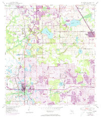
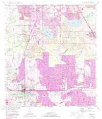
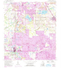
Editions of this 1949 Mulberry Map
5 editions found
Other maps of this area

1944 · Plant City
USGS Topo · 1:31,680

1944 · Lakeland
USGS Topo · 1:31,680

1944 · Auburndale
USGS Topo · 1:31,680

1949 · Bartow
USGS Topo · 1:24,000

1949 · Bradley Junction
USGS Topo · 1:24,000

1950 · Mulberry
USGS Topo · 1:24,000

1950 · Bartow
USGS Topo · 1:24,000

1950 · Bradley Junction
USGS Topo · 1:24,000

1952 · Homeland
USGS Topo · 1:24,000

1955 · Nichols
USGS Topo · 1:24,000