
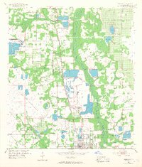
1952 Map of Homeland
USGS Topo · Published 1953About this map
Peace River dominates the central corridor of this Florida landscape, serving as a boundary between agricultural lands and the growing industrial footprint of the mid-century phosphate industry. The map captures a moment when extensive extractive operations, labeled as Noralyn Mine and numerous Strip Mines, were reshaping the topography north of Fort Meade. These mining efforts are deeply integrated with the transportation network, featuring complex rail spurs from the Atlantic Coast Line and Seaboard Air Line railroads. Smaller settlements like Homeland and Pembroke—the latter featuring a small Landing Field—sit at the junctions of these industrial arteries. For genealogists, the map preserves the locations of several burial grounds, including Evergreen Cem, Hancock Cem, and Peace Creek Cem, providing spatial context for local families living near water bodies like Sand Lake and Mud Lake.
Find a feature on this map
26 named features on this map. Tap any name to fly to it.
Don’t see what you’re looking for? This feature index may not catch every label — zoom into the map to look around manually.
Map Details
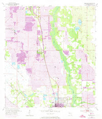
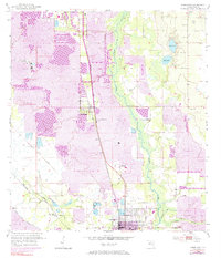
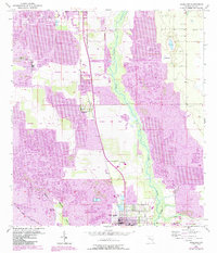
Editions of this 1952 Homeland Map
5 editions found
Other maps of this area

1949 · Mulberry
USGS Topo · 1:24,000

1949 · Bartow
USGS Topo · 1:24,000

1949 · Bradley Junction
USGS Topo · 1:24,000

1950 · Mulberry
USGS Topo · 1:24,000

1950 · Bartow
USGS Topo · 1:24,000

1950 · Bradley Junction
USGS Topo · 1:24,000

1955 · Eloise
USGS Topo · 1:24,000

1955 · Bowling Green
USGS Topo · 1:24,000

1955 · Baird
USGS Topo · 1:24,000

1955 · Alturas
USGS Topo · 1:24,000