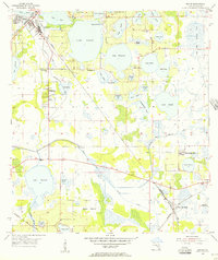
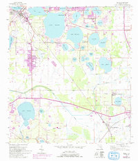
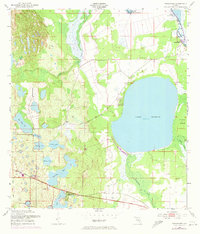
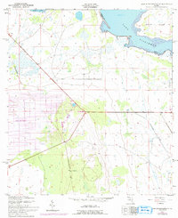
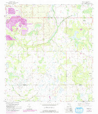
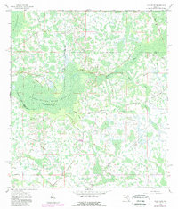
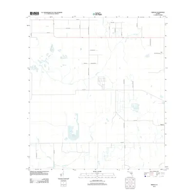
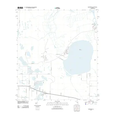
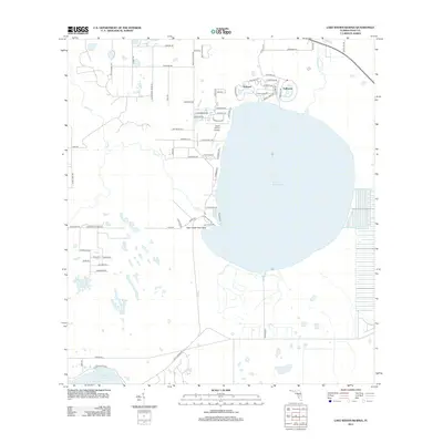
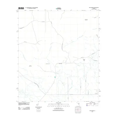
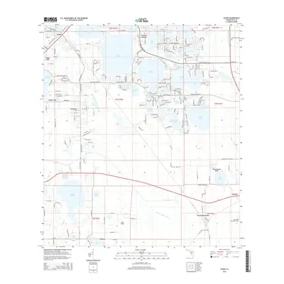
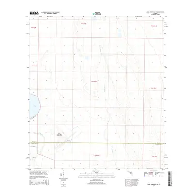
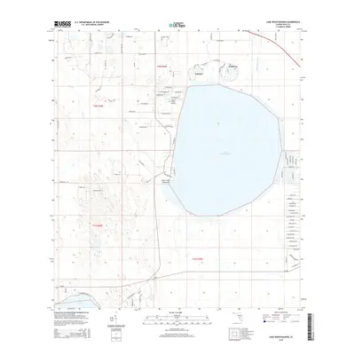
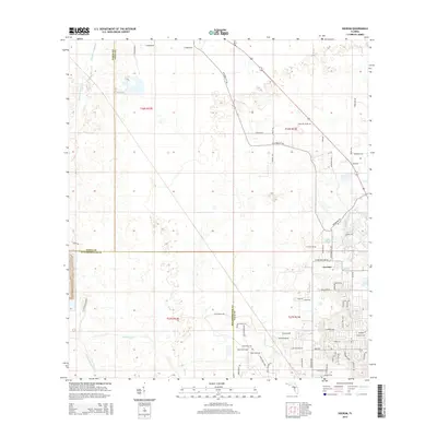
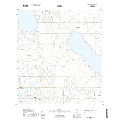
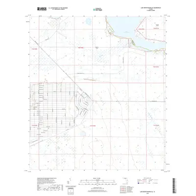
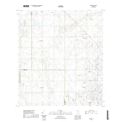
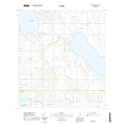
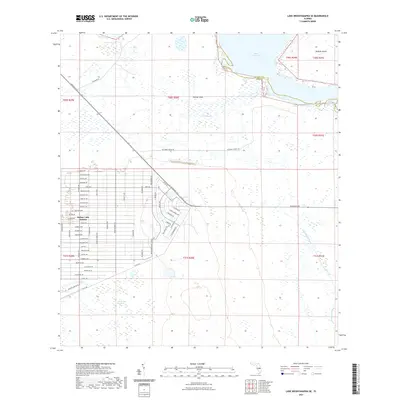
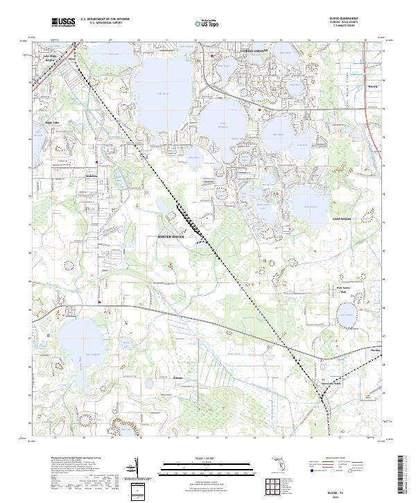
1955 Map of Eloise
USGS Topo · Published 1956About this map
Cypress Gardens and an intricate network of freshwater lakes define this mid-century Florida landscape, captured just as the region’s citrus and tourism identity was flourishing. The map illustrates a transition from industrial activity to residential growth, with the Atlantic Coast Line and Seaboard Air Line railroads intersecting at Eloise. These rail corridors once served the packing houses and phosphate interests of Polk County, connecting settlements like Wahneta and West Lake Wales to broader markets.
Find a feature on this map
55 named features on this map. Tap any name to fly to it.
Don’t see what you’re looking for? This feature index may not catch every label — zoom into the map to look around manually.
Map Details
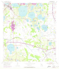
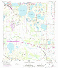
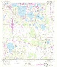
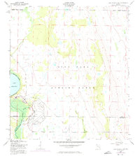
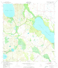
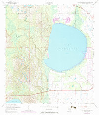
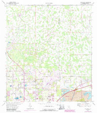
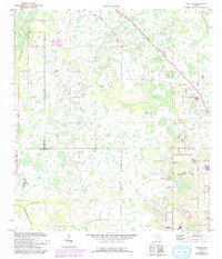
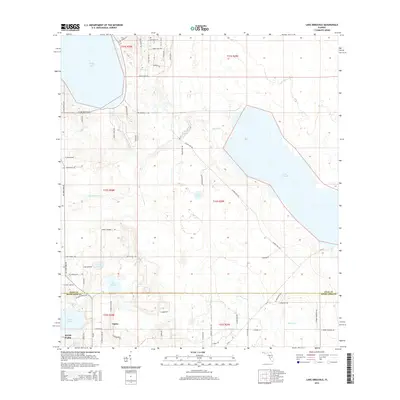
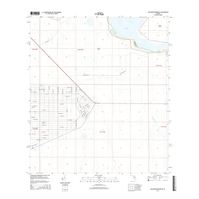
Editions of this 1955 Eloise Map
6 editions found
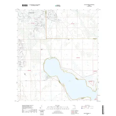
Historical Maps of Winter Haven Through Time
98 maps found
1944 Providence
Polk County, FL
1944 Socrum
Polk County, FL
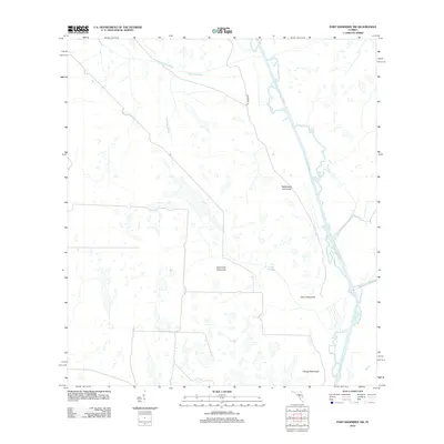
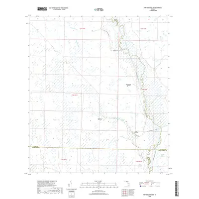
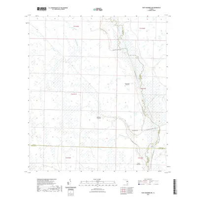
1952 Fort Kissimmee NW
Polk County, FL
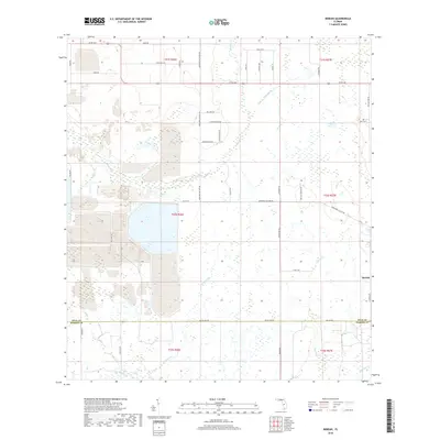
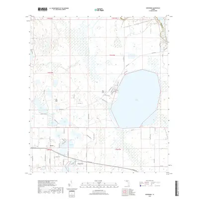
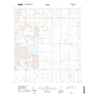
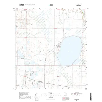
1952 Hesperides
Polk County, FL
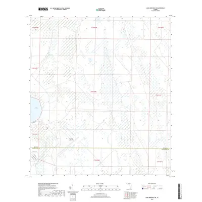
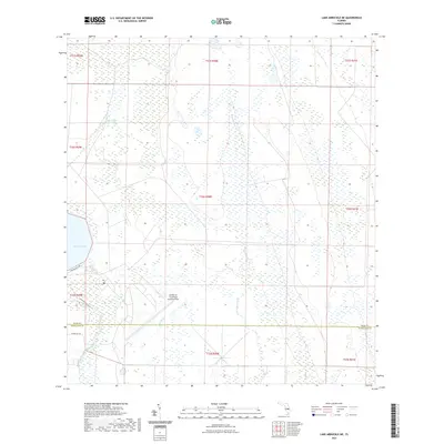
1952 Lake Arbuckle NE
Polk County, FL
1952 Lake Arbuckle
Polk County, FL
1952 Lake Weohyakapka
Polk County, FL
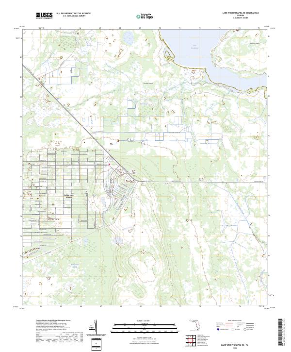
1952 Lake Weohyakapka SE
Polk County, FL
1953 Lake Hatchineha
Polk County, FL
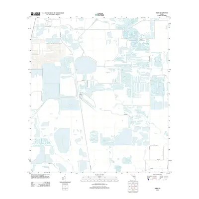
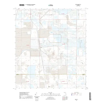
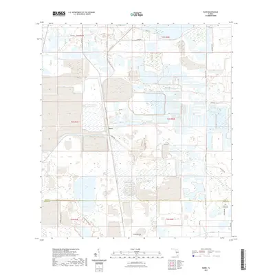
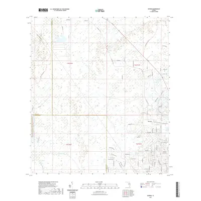
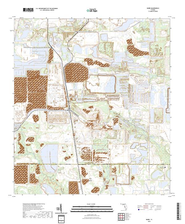
1955 Baird
Polk County, FL
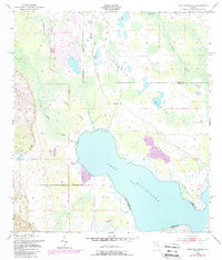
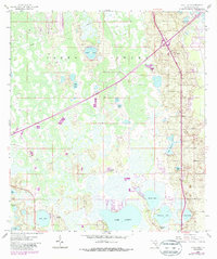
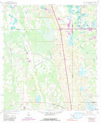
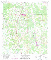
1955 Eloise
Polk County, FL
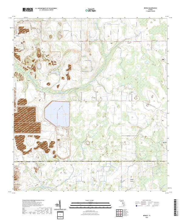
1956 Bereah
Polk County, FL
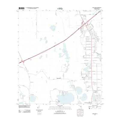
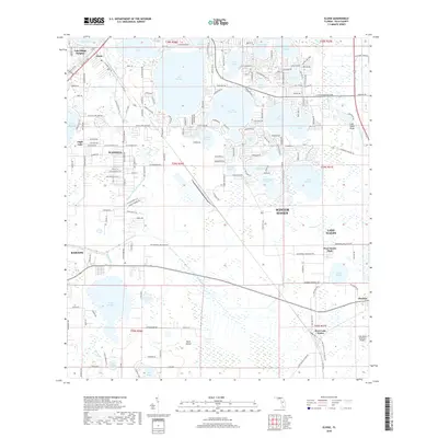
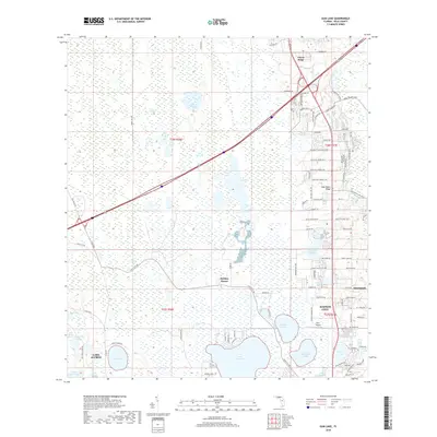
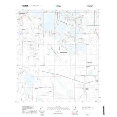
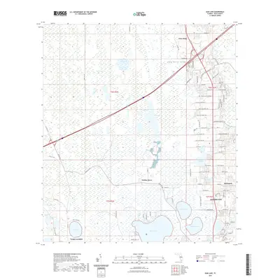
1959 Gum Lake
Polk County, FL
1959 Lake Louisa SW
Polk County, FL
1959 Poyner
Polk County, FL
1960 Rock Ridge
Polk County, FL
1975 Providence
Polk County, FL
1975 Socrum
Polk County, FL
2012 Baird
Polk County, FL
2012 Bereah
Polk County, FL
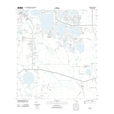
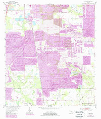
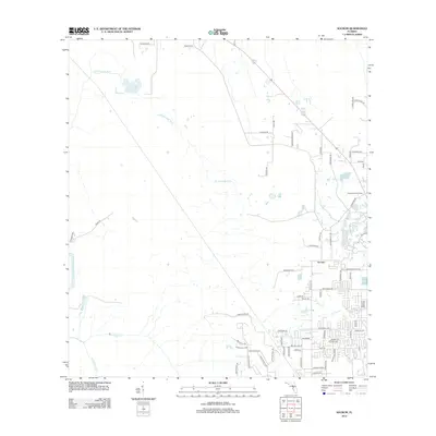
2012 Eloise
Polk County, FL
2012 Fort Kissimmee NW
Polk County, FL
2012 Gum Lake
Polk County, FL
2012 Hesperides
Polk County, FL
2012 Lake Arbuckle NE
Polk County, FL
2012 Lake Arbuckle
Polk County, FL

2012 Lake Hatchineha
Polk County, FL
2012 Lake Louisa SW
Polk County, FL
2012 Lake Weohyakapka
Polk County, FL
2012 Lake Weohyakapka SE
Polk County, FL
2012 Poyner
Polk County, FL
2012 Providence
Polk County, FL
2012 Rock Ridge
Polk County, FL
2012 Socrum
Polk County, FL
2015 Baird
Polk County, FL
2015 Bereah
Polk County, FL
2015 Eloise
Polk County, FL
2015 Fort Kissimmee NW
Polk County, FL
2015 Gum Lake
Polk County, FL
2015 Hesperides
Polk County, FL
2015 Lake Arbuckle NE
Polk County, FL
2015 Lake Arbuckle
Polk County, FL
2015 Lake Hatchineha
Polk County, FL
2015 Lake Louisa SW
Polk County, FL
2015 Lake Weohyakapka
Polk County, FL
2015 Lake Weohyakapka SE
Polk County, FL
2015 Poyner
Polk County, FL
2015 Providence
Polk County, FL

2015 Rock Ridge
Polk County, FL
2015 Socrum
Polk County, FL
2018 Baird
Polk County, FL
2018 Bereah
Polk County, FL
2018 Eloise
Polk County, FL
2018 Fort Kissimmee NW
Polk County, FL
2018 Gum Lake
Polk County, FL
2018 Hesperides
Polk County, FL
2018 Lake Arbuckle NE
Polk County, FL
2018 Lake Arbuckle
Polk County, FL
2018 Lake Hatchineha
Polk County, FL
2018 Lake Louisa SW
Polk County, FL
2018 Lake Weohyakapka
Polk County, FL
2018 Lake Weohyakapka SE
Polk County, FL
2018 Poyner
Polk County, FL
2018 Providence
Polk County, FL
2018 Rock Ridge
Polk County, FL
2018 Socrum
Polk County, FL
2021 Baird
Polk County, FL
2021 Bereah
Polk County, FL
2021 Eloise
Polk County, FL
2021 Fort Kissimmee NW
Polk County, FL
2021 Gum Lake
Polk County, FL
2021 Hesperides
Polk County, FL
2021 Lake Arbuckle NE
Polk County, FL
2021 Lake Arbuckle
Polk County, FL
2021 Lake Hatchineha
Polk County, FL
2021 Lake Louisa SW
Polk County, FL
2021 Lake Weohyakapka
Polk County, FL
2021 Lake Weohyakapka SE
Polk County, FL
2021 Poyner
Polk County, FL
2021 Providence
Polk County, FL
2021 Rock Ridge
Polk County, FL
2021 Socrum
Polk County, FL
2024 Baird
Polk County, FL
2024 Bereah
Polk County, FL
2024 Eloise
Polk County, FL
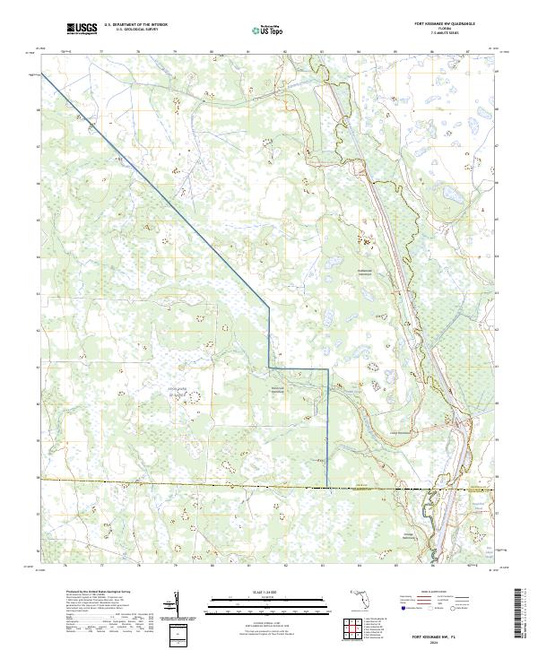
2024 Fort Kissimmee NW
Polk County, FL
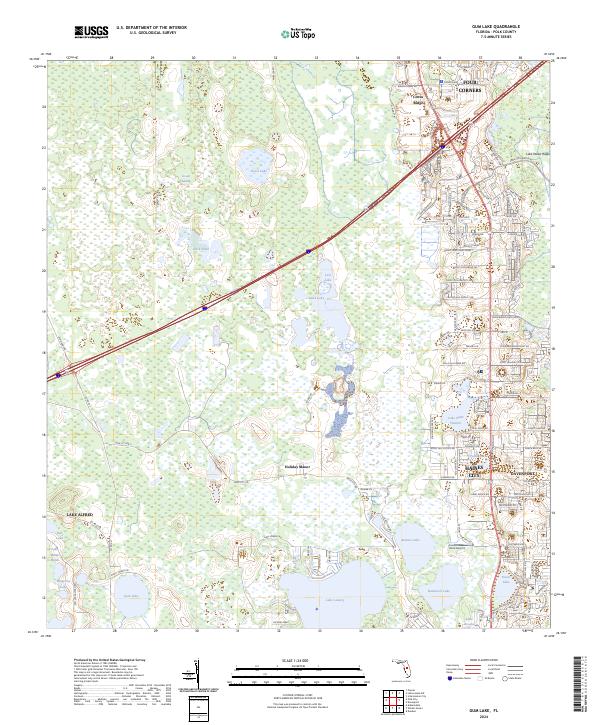
2024 Gum Lake
Polk County, FL
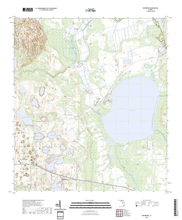
2024 Hesperides
Polk County, FL
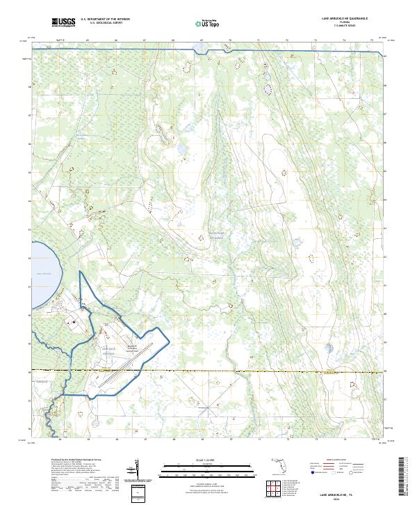
2024 Lake Arbuckle NE
Polk County, FL
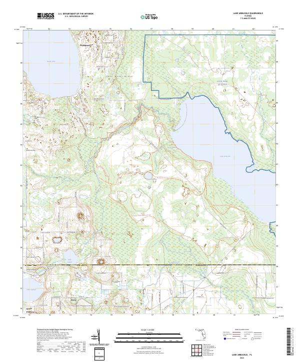
2024 Lake Arbuckle
Polk County, FL
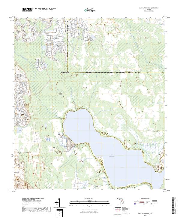
2024 Lake Hatchineha
Polk County, FL
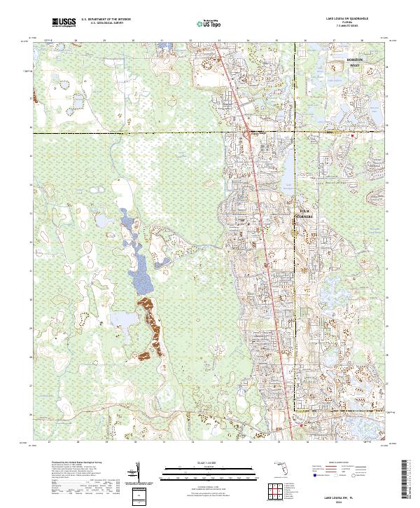
2024 Lake Louisa SW
Polk County, FL
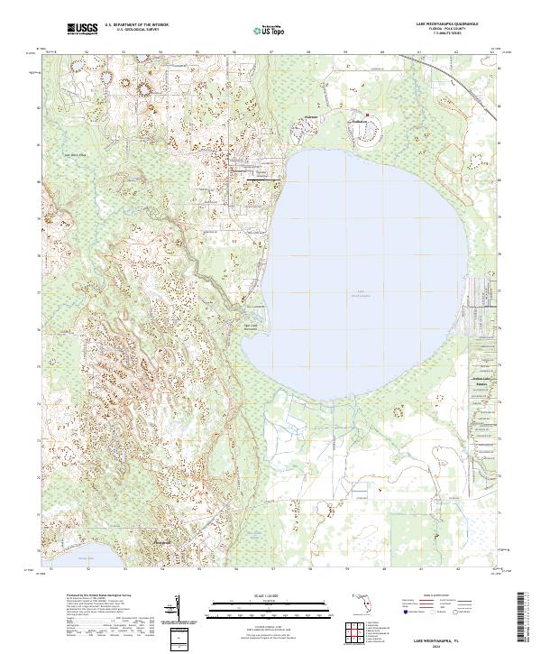
2024 Lake Weohyakapka
Polk County, FL
2024 Lake Weohyakapka SE
Polk County, FL
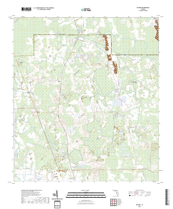
2024 Poyner
Polk County, FL
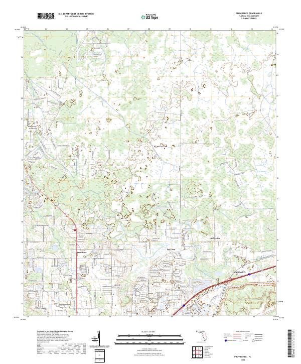
2024 Providence
Polk County, FL
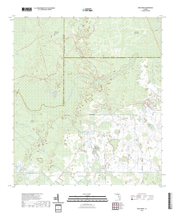
2024 Rock Ridge
Polk County, FL
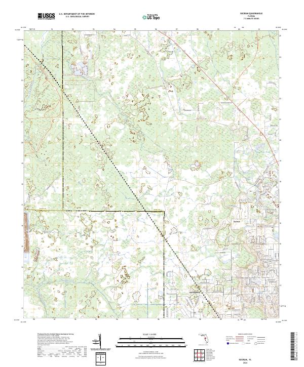
2024 Socrum
Polk County, FL