
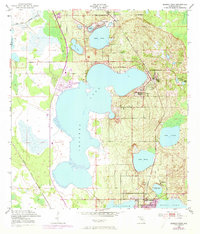
1952 Map of Babson Park
USGS Topo · Published 1953About this map
The central Florida citrus belt is defined here by a chain of namesake lakes and the rail lines that served them during the early 1950s. The massive Lake Crooked dominates the center of the sheet, surrounded by communities like Babson Park, Hillcrest Heights, and Highland Park. These settlements were deeply connected to the citrus industry and transportation, evidenced by the presence of the Atlantic Coast Line and Seaboard Air Line railroads. To the south, the city of Frostproof sits between Lake Clinch and Reedy Lake, a layout shaped by the surrounding water and the reach of the Peace Creek Drainage Canal. Local genealogy and community markers include Bethel Ch near Lake Ida, providing specific points of interest for those tracing the social fabric of Polk County during this period of mid-century development.
Find a feature on this map
21 named features on this map. Tap any name to fly to it.
Don’t see what you’re looking for? This feature index may not catch every label — zoom into the map to look around manually.
Map Details
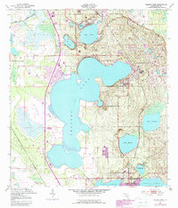
Editions of this 1952 Babson Park Map
3 editions found
Other maps of this area

1952 · Lake Wales
USGS Topo · 1:24,000

1952 · Hesperides
USGS Topo · 1:24,000

1952 · Lake Arbuckle
USGS Topo · 1:24,000

1952 · Lake Weohyakapka
USGS Topo · 1:24,000

1953 · Frostproof
USGS Topo · 1:24,000

1955 · Eloise
USGS Topo · 1:24,000

1955 · Alturas
USGS Topo · 1:24,000

1956 · Bereah
USGS Topo · 1:24,000

1956 · Fort Pierce
USGS Topo · 1:250,000

1958 · Fort Pierce
USGS Topo · 1:250,000