
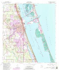
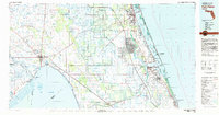
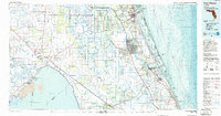
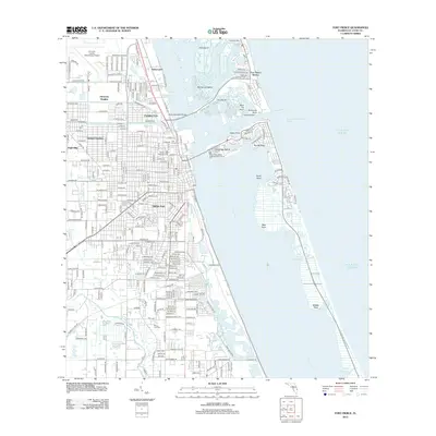
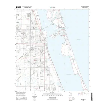
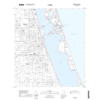
1958 Map of Fort Pierce
USGS Topo · Published 1958About this map
Lake Okeechobee anchors the southern boundary of this mid-century Florida survey, which tracks the transition from the citrus-growing ridge lands to the Atlantic coast. The map illustrates a central Florida landscape defined by water and military infrastructure, most notably the expansive Avon Park Bombing and Gunnery Range and the winding Kissimmee River. Communities such as Sebring, Avon Park, and Fort Pierce appear in their post-war configurations, linked by the Seaboard Air Line, Florida East Coast, and Atlantic Coast Line railroads. The newly designated Sunshine State Parkway cuts through the eastern interior, signaling the modern era of travel that would soon transform the region. Coastal features like Hutchinson Island and Jupiter Island show the early footprints of development alongside established conservation areas like Highlands Hammock State Park.
Find a feature on this map
51 named features on this map. Tap any name to fly to it.
Don’t see what you’re looking for? This feature index may not catch every label — zoom into the map to look around manually.
Map Details
Editions of this 1958 Fort Pierce Map
This is the sole edition of this map. No revisions or reprints were ever made.
Historical Maps of Port Saint Lucie Through Time
14 maps found
1949 Fort Pierce
St. Lucie County, FL
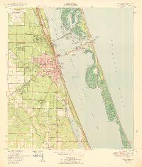
1950 Fort Pierce
St. Lucie County, FL
1956 Fort Pierce
St. Lucie County, FL
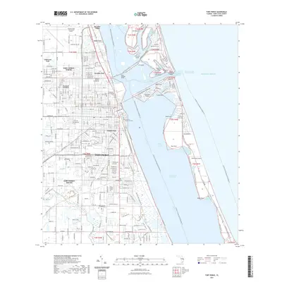
1958 Fort Pierce
St. Lucie County, FL

1959 Fort Pierce
St. Lucie County, FL
1972 Fort Pierce
St. Lucie County, FL
1981 Fort Pierce
St. Lucie County, FL
1986 Fort Pierce
St. Lucie County, FL

1988 Fort Pierce
St. Lucie County, FL
2012 Fort Pierce
St. Lucie County, FL
2015 Fort Pierce
St. Lucie County, FL
2018 Fort Pierce
St. Lucie County, FL
2021 Fort Pierce
St. Lucie County, FL
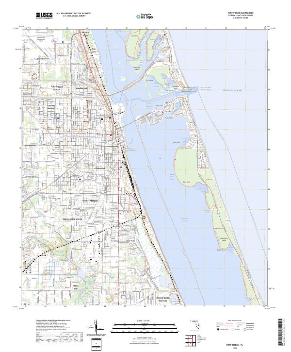
2024 Fort Pierce
St. Lucie County, FL