
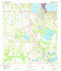
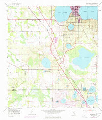
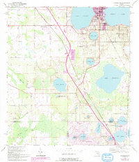
1953 Map of Frostproof
USGS Topo · Published 1954About this map
Frostproof and its surrounding citrus and lake country are captured here at the mid-century, where the convergence of the Seaboard Air Line and Atlantic Coast Line railroads drove the local economy. The landscape is defined by its numerous water bodies, ranging from the large Lake Clinch and Reedy Lake in the north to the sprawling Lake Livingston in the east.
Find a feature on this map
32 named features on this map. Tap any name to fly to it.
Don’t see what you’re looking for? This feature index may not catch every label — zoom into the map to look around manually.
Map Details
Editions of this 1953 Frostproof Map
5 editions found

Other maps of this area

1952 · Lake Arbuckle SW
USGS Topo · 1:24,000

1952 · Babson Park
USGS Topo · 1:24,000

1952 · Lake Arbuckle
USGS Topo · 1:24,000

1952 · Lake Weohyakapka
USGS Topo · 1:24,000

1953 · Avon Park
USGS Topo · 1:24,000

1955 · Alturas
USGS Topo · 1:24,000

1956 · Bereah
USGS Topo · 1:24,000

1956 · Griffins Corner
USGS Topo · 1:24,000

1956 · Fort Pierce
USGS Topo · 1:250,000

1958 · Fort Pierce
USGS Topo · 1:250,000