
1952 Map of Lake Arbuckle SW
USGS Topo · Published 1953About this map
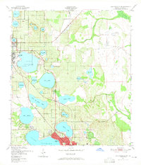
Sebring and Avon Park anchor this early 1950s survey of the Florida ridge country, where citrus groves and town sites are interspersed with an extensive network of freshwater lakes. The landscape is defined by its transit corridors, specifically the competing routes of the Atlantic Coast Line and the Seaboard Air Line railroads, which facilitated the region's agricultural and tourist growth. In the northern reaches, a Clay Pit and Pumping Sta suggest the local industrial activity of the era, while the Fish Hatchery (Abandoned) near Lakemont points to shifting land uses.
Find a feature on this map
38 named features on this map. Tap any name to fly to it.
Don’t see what you’re looking for? This feature index may not catch every label — zoom into the map to look around manually.
Map Details
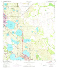
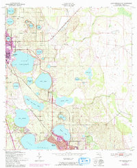
Editions of this 1952 Lake Arbuckle SW Map
4 editions found
Other maps of this area

1952 · Lake Arbuckle NE
USGS Topo · 1:24,000

1952 · Lake Arbuckle SE
USGS Topo · 1:24,000

1952 · Lake Arbuckle
USGS Topo · 1:24,000

1952 · Lorida
USGS Topo · 1:24,000

1952 · Sebring
USGS Topo · 1:24,000

1953 · Frostproof
USGS Topo · 1:24,000

1953 · Avon Park
USGS Topo · 1:24,000

1953 · Crewsville
USGS Topo · 1:24,000

1956 · Fort Pierce
USGS Topo · 1:250,000

1958 · Fort Pierce
USGS Topo · 1:250,000