
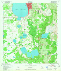
1952 Map of Sebring
USGS Topo · Published 1953About this map
Sebring serves as the focal point of this early 1950s survey, showing its urban core and the prominent Courthouse situated between the shores of Rex Beach Lake and the diverging rail lines. The local economy and transport network are clearly defined by the Seaboard Air Line and the Atlantic Coast Line, which intersect the citrus-growing region and provide access to smaller settlements like De Soto City and Kuhlman.
Find a feature on this map
21 named features on this map. Tap any name to fly to it.
Don’t see what you’re looking for? This feature index may not catch every label — zoom into the map to look around manually.
Map Details
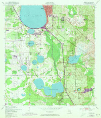
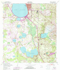
Editions of this 1952 Sebring Map
4 editions found
Other maps of this area

1952 · Lake Placid
USGS Topo · 1:24,000

1952 · Lake Arbuckle SW
USGS Topo · 1:24,000

1952 · Lake Arbuckle SE
USGS Topo · 1:24,000

1952 · Lorida
USGS Topo · 1:24,000

1953 · Avon Park
USGS Topo · 1:24,000

1953 · Lake June In Winter
USGS Topo · 1:24,000

1953 · Crewsville SE
USGS Topo · 1:24,000

1953 · Crewsville
USGS Topo · 1:24,000

1956 · Fort Pierce
USGS Topo · 1:250,000

1958 · Fort Pierce
USGS Topo · 1:250,000