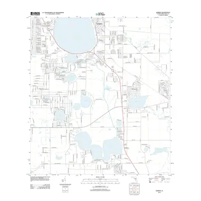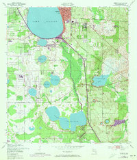
1952 Map of Sebring
USGS Topo · Published 1973About this map
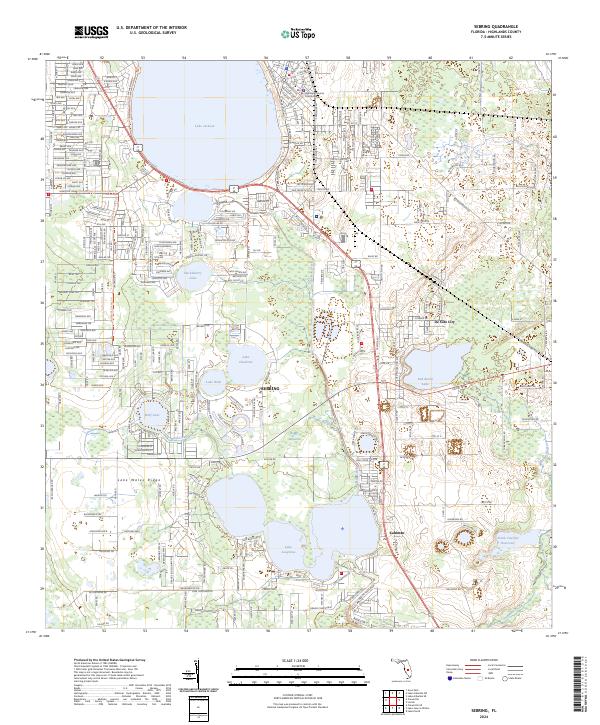
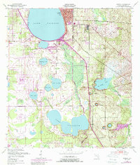
Sebring and its surroundings in Highlands County reveal a landscape defined by expansive freshwater lakes and the growth of the regional citrus and rail corridor. Dominating the northwest corner, Lake Jackson fronts the town center where civic landmarks like the Court House, City Park, and the Fairground are clustered. The survey highlights the early 1950s infrastructure with 1970s updates, showing the urban expansion of the city limits alongside the Seaboard Coast Line railroad. Southward, the map transitions into a matrix of smaller water bodies such as Red Beach Lake and Lake Josephine, interspersed with industrial Sand Pit and Clay Pit operations. Smaller settlements like De Soto City and Kuhlman appear along the rail line, providing a detailed view of the rural-to-suburban transition before the intensive modern development of central Florida.
Find a feature on this map
21 named features on this map. Tap any name to fly to it.
Don’t see what you’re looking for? This feature index may not catch every label — zoom into the map to look around manually.
Map Details
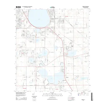
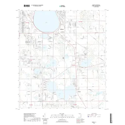
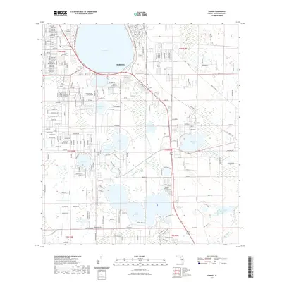
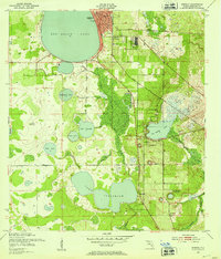
Editions of this 1952 Sebring Map
4 editions found
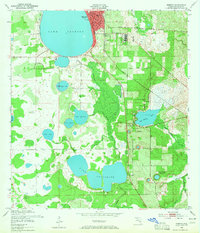
Historical Maps of Sebring Through Time
6 maps found