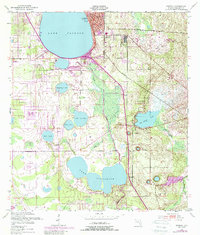
1952 Map of Sebring
USGS Topo · Published 1988About this map
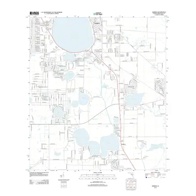
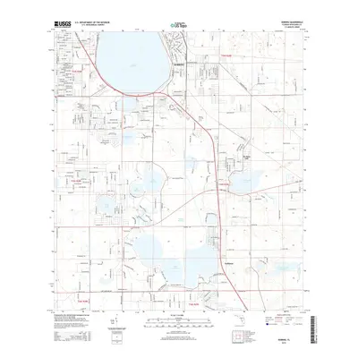
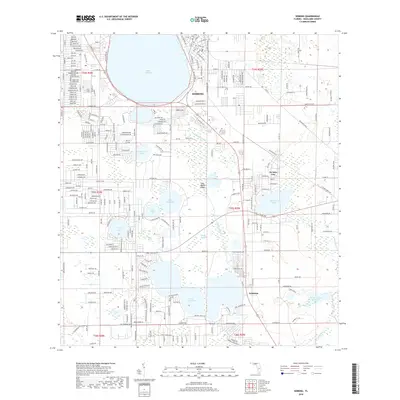
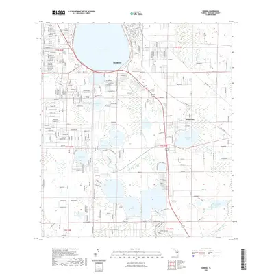
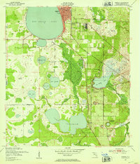
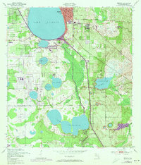
Sebring serves as the focal point of this Highlands County landscape, centered around the expansive Lake Jackson. The 1952 survey shows the city's concentrated growth near the Courthouse and City Park, while the surrounding terrain is dominated by an intricate chain of citrus groves and wetlands. The Seaboard Coast Line railroad dictates the north-south transport corridor, passing through De Soto City and the small settlement of Kuhlman. To the south, the massive Lake Josephine anchors a series of smaller water bodies including Lake Ruth, Wolf Lake, and Red Beach Lake. This mapping captures Florida's ridge country before later 20th-century development, highlighting a landscape defined by its hydrology and the early industry of a Clay Pit.
Find a feature on this map
23 named features on this map. Tap any name to fly to it.
Don’t see what you’re looking for? This feature index may not catch every label — zoom into the map to look around manually.
Map Details
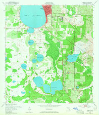
Editions of this 1952 Sebring Map
4 editions found
Historical Maps of Sebring Through Time
6 maps found