
1952 Map of Lake Arbuckle SE
USGS Topo · Published 1953About this map
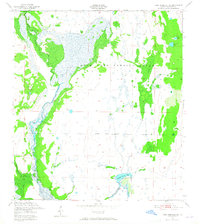
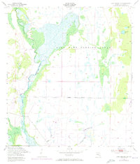
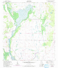
The Avon Park Bombing Range dominates this 1950s landscape, illustrating the mid-century intersection of military training grounds and the Florida wilderness. This area in Highlands County is defined by its complex hydrology, where Arbuckle Creek and Morgan Hole Creek wind through swampy lowlands. The presence of the Bombing Range Boundary cutting through these wetlands reveals how the Department of the Army utilized the isolation of the Cypress slashes for aerial practice. Notable water features like Bonny Bloom Pond and the curiously named Submarine Lake are interspersed among the larger Long Cypress Slash. The topography, mapped via aerial photography and plane-table surveys by the U.S. Corps of Engineers, preserves the original drainage patterns of Wildcat Branch and Arbuckle Br before modern hydrological alterations changed the region's flow.
Find a feature on this map
14 named features on this map. Tap any name to fly to it.
Don’t see what you’re looking for? This feature index may not catch every label — zoom into the map to look around manually.
Map Details
Editions of this 1952 Lake Arbuckle SE Map
4 editions found
Other maps of this area

1952 · Fort Kissimmee
USGS Topo · 1:24,000

1952 · Lake Arbuckle SW
USGS Topo · 1:24,000

1952 · Fort Kissimmee NW
USGS Topo · 1:24,000

1952 · Lake Arbuckle NE
USGS Topo · 1:24,000

1952 · Lake Arbuckle
USGS Topo · 1:24,000

1952 · Lorida
USGS Topo · 1:24,000

1952 · Sebring
USGS Topo · 1:24,000

1953 · Basinger NW
USGS Topo · 1:24,000

1956 · Fort Pierce
USGS Topo · 1:250,000

1958 · Fort Pierce
USGS Topo · 1:250,000