
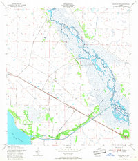
1953 Map of Basinger NW
USGS Topo · Published 1954About this map
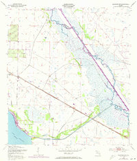
The Kissimmee River meanders through a sprawling wetland landscape on the boundary of Highlands and Okeechobee counties. This 1950s era survey by the U.S. Corps of Engineers shows the river before major modernization efforts, characterized by natural features like Hole in the Wall and the swampy reaches of Starvation Slough. To the southwest, the northern edge of Lake Istokpoga is visible, connected by the Istokpoga Canal and Istokpoga Creek, which navigate the surrounding marshes near Spoil Bank.
Find a feature on this map
18 named features on this map. Tap any name to fly to it.
Don’t see what you’re looking for? This feature index may not catch every label — zoom into the map to look around manually.
Map Details
Editions of this 1953 Basinger NW Map
3 editions found
Other maps of this area

1952 · Fort Kissimmee
USGS Topo · 1:24,000

1952 · Lake Placid
USGS Topo · 1:24,000

1952 · Lake Arbuckle SE
USGS Topo · 1:24,000

1952 · Lorida
USGS Topo · 1:24,000

1953 · Basinger
USGS Topo · 1:24,000

1953 · Fort Basinger
USGS Topo · 1:24,000

1953 · Basinger SW
USGS Topo · 1:24,000

1953 · Fort Kissimmee SE
USGS Topo · 1:24,000

1956 · Fort Pierce
USGS Topo · 1:250,000

1958 · Fort Pierce
USGS Topo · 1:250,000