
1953 Map of Basinger
USGS Topo · Published 1954About this map
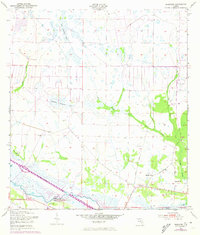
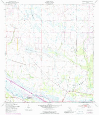
Basinger serves as the focal point of this 1950s survey of central Florida, where the Kissimmee River forms the natural boundary between Okeechobee and Highlands Counties. The settlement is depicted with its local institutions, including the Basinger Sch, Brethren Ch, and Basinger Cem, alongside a Gaging Sta on the riverbank. To the west, the small community of Cornwell sits near the river's winding course before modern channelization altered the landscape.
Find a feature on this map
18 named features on this map. Tap any name to fly to it.
Don’t see what you’re looking for? This feature index may not catch every label — zoom into the map to look around manually.
Map Details
Editions of this 1953 Basinger Map
3 editions found
Other maps of this area

1952 · Fort Kissimmee
USGS Topo · 1:24,000

1953 · Taylor Creek NW
USGS Topo · 1:24,000

1953 · Fort Basinger
USGS Topo · 1:24,000

1953 · Fort Drum SW
USGS Topo · 1:24,000

1953 · Basinger SW
USGS Topo · 1:24,000

1953 · Basinger NW
USGS Topo · 1:24,000

1953 · Taylor Creek SW
USGS Topo · 1:24,000

1953 · Fort Kissimmee SE
USGS Topo · 1:24,000

1956 · Fort Pierce
USGS Topo · 1:250,000

1958 · Fort Pierce
USGS Topo · 1:250,000