
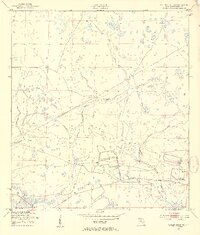
1953 Map of Taylor Creek NW
USGS Topo · Published 1954About this map
Taylor Creek and its complex network of sloughs define this interior Florida landscape during the early 1950s. The area is characterized by low-lying wetlands and seasonal drainage patterns, evidenced by the presence of Fish Slough, Cypress Slough, and Chandler Slough. These natural corridors are punctuated by isolated high points such as Dinner Hammock and Dad Island, which likely served as critical dry ground for early settlers and cattlemen in Okeechobee County.
Find a feature on this map
10 named features on this map. Tap any name to fly to it.
Don’t see what you’re looking for? This feature index may not catch every label — zoom into the map to look around manually.
Map Details
Editions of this 1953 Taylor Creek NW Map
3 editions found
Other maps of this area

1953 · Basinger
USGS Topo · 1:24,000

1953 · Fort Drum
USGS Topo · 1:24,000

1953 · Fort Basinger
USGS Topo · 1:24,000

1953 · Fort Drum SW
USGS Topo · 1:24,000

1953 · Taylor Creek SW
USGS Topo · 1:24,000

1953 · Fort Kissimmee SE
USGS Topo · 1:24,000

1953 · Taylor Creek SE
USGS Topo · 1:24,000

1953 · Taylor Creek NE
USGS Topo · 1:24,000

1956 · Fort Pierce
USGS Topo · 1:250,000

1958 · Fort Pierce
USGS Topo · 1:250,000