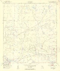
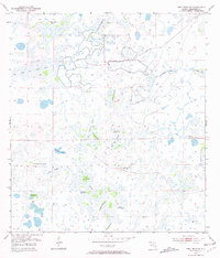
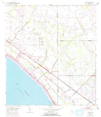
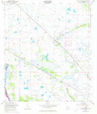
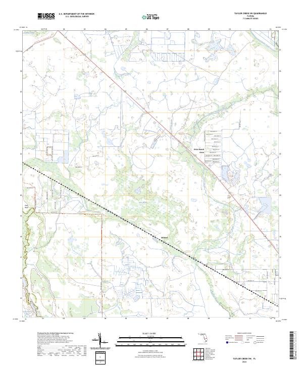
1953 Map of Taylor Creek NW
USGS Topo · Published 1954This historical map portrays the area of Taylor Creek NW in 1953, primarily covering Okeechobee County. Featuring a scale of 1:24000, this map provides a highly detailed snapshot of the terrain, roads, buildings, counties, and historical landmarks in the Taylor Creek NW region at the time. Published in 1954, it is one of 3 known editions of this map due to revisions or reprints.
Find a feature on this map
12 named features on this map. Tap any name to fly to it.
Don’t see what you’re looking for? This feature index may not catch every label — zoom into the map to look around manually.
Map Details
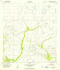
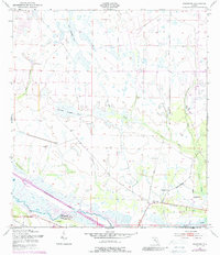
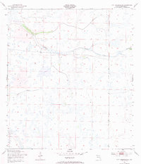
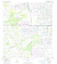
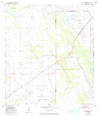
Editions of this 1953 Taylor Creek NW Map
3 editions found
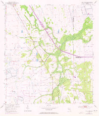
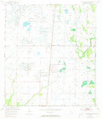
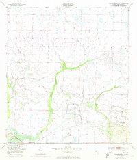
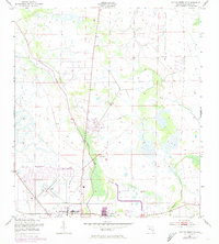
Historical Maps of Okeechobee County Through Time
24 maps found
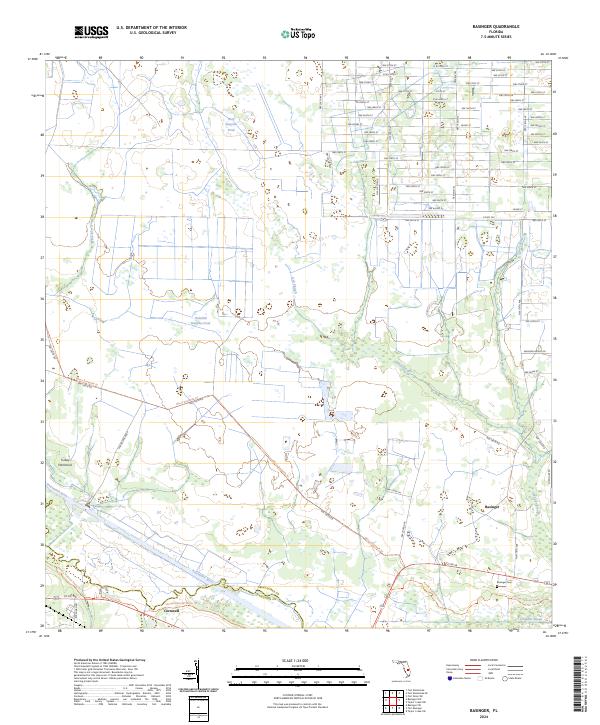
1953 Basinger
Okeechobee County, FL
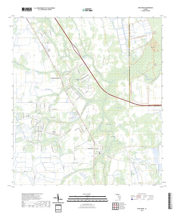
1953 Fort Drum
Okeechobee County, FL
1953 Fort Drum SW
Okeechobee County, FL
1953 Fort Kissimmee SE
Okeechobee County, FL
1953 Jernigans Pond
Okeechobee County, FL
1953 Jones Hammock
Okeechobee County, FL
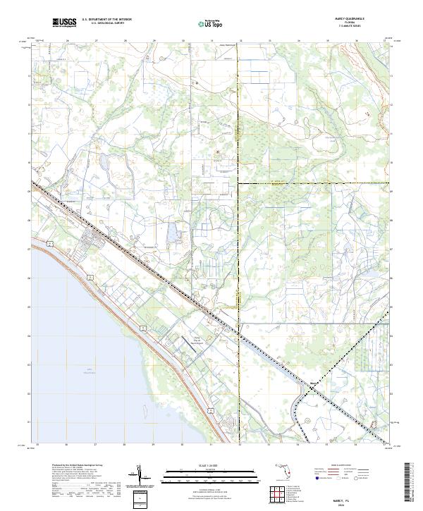
1953 Marcy
Okeechobee County, FL
1953 Taylor Creek NE
Okeechobee County, FL
1953 Taylor Creek NW
Okeechobee County, FL
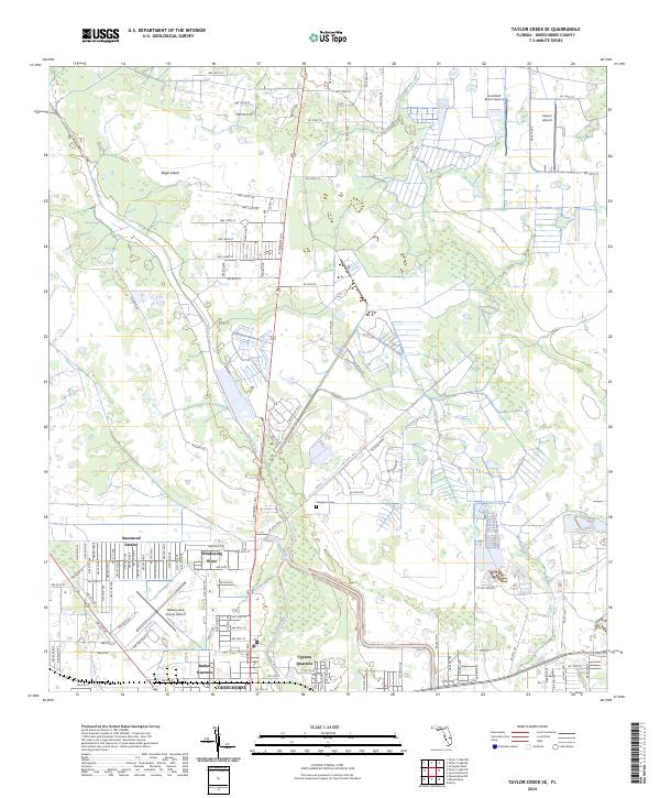
1953 Taylor Creek SE
Okeechobee County, FL
1953 Taylor Creek SW
Okeechobee County, FL
1971 Okeechobee SE
Okeechobee County, FL
2024 Basinger
Okeechobee County, FL
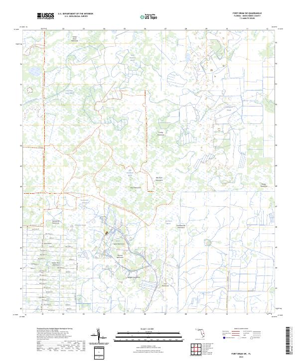
2024 Fort Drum
Okeechobee County, FL
2024 Fort Drum SW
Okeechobee County, FL
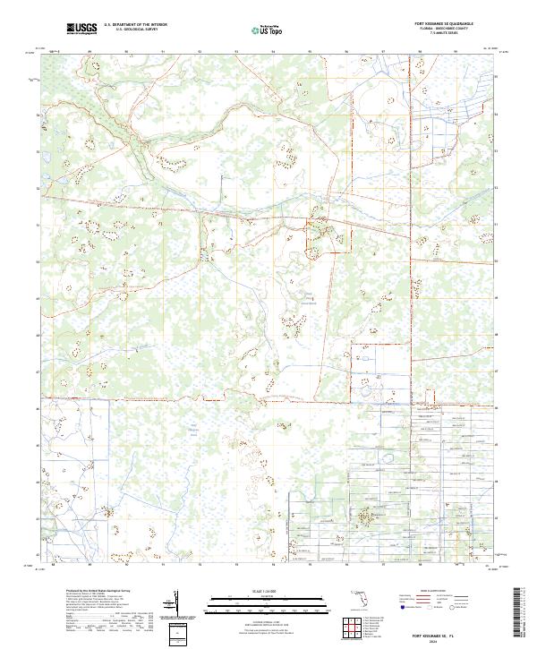
2024 Fort Kissimmee SE
Okeechobee County, FL
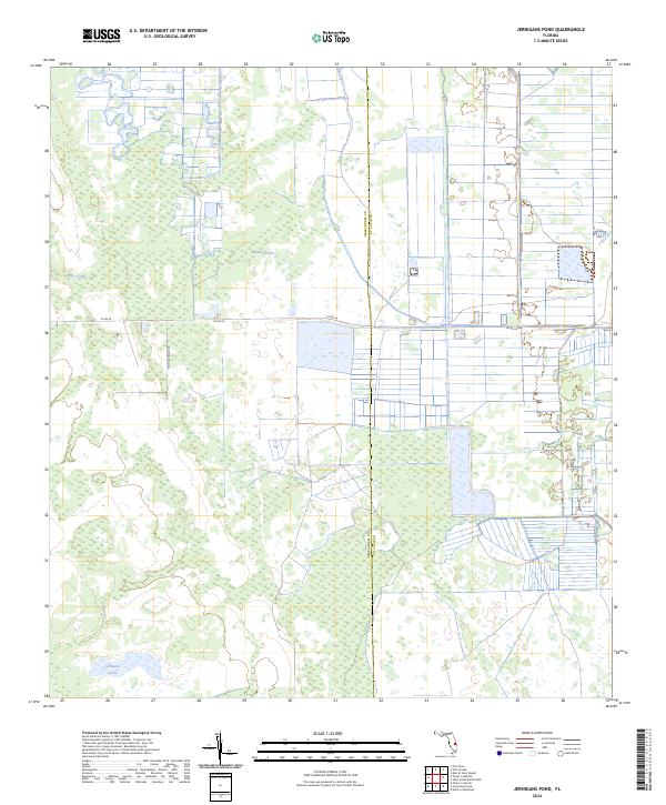
2024 Jernigans Pond
Okeechobee County, FL
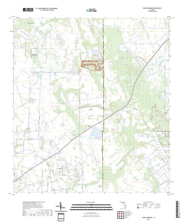
2024 Jones Hammock
Okeechobee County, FL
2024 Marcy
Okeechobee County, FL
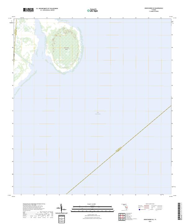
2024 Okeechobee SE
Okeechobee County, FL
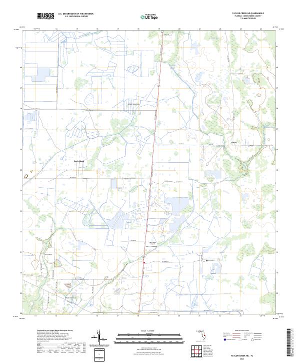
2024 Taylor Creek NE
Okeechobee County, FL
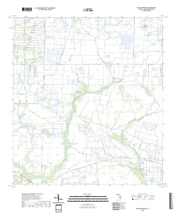
2024 Taylor Creek NW
Okeechobee County, FL
2024 Taylor Creek SE
Okeechobee County, FL
2024 Taylor Creek SW
Okeechobee County, FL