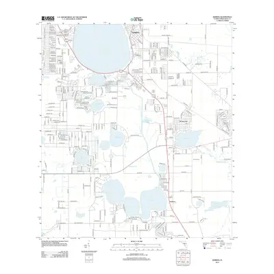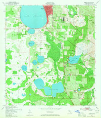
1952 Map of Sebring
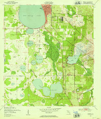
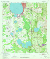
USGS Topo · Published 1965About this map
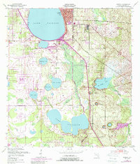
Sebring serves as the focal point of this 1952 landscape, its street grid organized around a central hub near Lake Jackson and the Fairground. The map documents a period of transition in Highlands County, where the terrestrial rail lines of the Seaboard Air Line and the Atlantic Coast Line intersect near the emerging De Soto City. The terrain is defined by a dense network of freshwater bodies including Lake Josephine, Lake Charlotte, and Red Beach Lake, connected by systems like Jackson Creek and Boggy Branch. Industry is subtly noted through the presence of a Sand Pit and Clay Pit, while aviation history is marked by an Abandoned Radio Range Station. To the west, the boundary of Highlands Hammock State Park begins to encroach on the lake-strewn plains, illustrating the balance between conservation and the citrus-belt's mid-century expansion.
Find a feature on this map
27 named features on this map. Tap any name to fly to it.
Don’t see what you’re looking for? This feature index may not catch every label — zoom into the map to look around manually.
Map Details
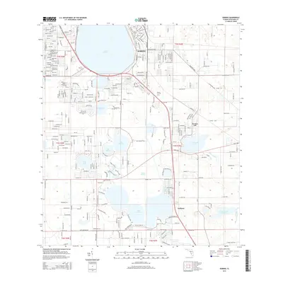
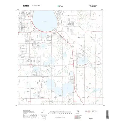
Editions of this 1952 Sebring Map
4 editions found
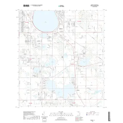
Historical Maps of Sebring Through Time
6 maps found