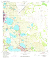
1952 Map of Lake Arbuckle SW
USGS Topo · Published 1973About this map
Avon Park and northern Sebring anchor this citrus-belt landscape, characterized by an immense concentration of freshwater lakes. The topography reveals a complex hydrological network where large bodies like Lake Jackson and Lake Lotela dominate the southern and central terrain. Economic activity is evidenced by a clay pit near Pioneer Lake and a powerplant on the western shore of Lake Lotela.
Find a feature on this map
37 named features on this map. Tap any name to fly to it.
Don’t see what you’re looking for? This feature index may not catch every label — zoom into the map to look around manually.
Map Details
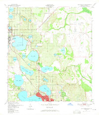
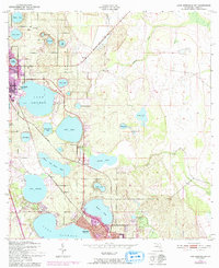
Editions of this 1952 Lake Arbuckle SW Map
4 editions found
Other maps of this area

1952 · Lake Arbuckle SW
USGS Topo · 1:24,000

1952 · Lake Arbuckle NE
USGS Topo · 1:24,000

1952 · Lake Arbuckle SE
USGS Topo · 1:24,000

1952 · Lake Arbuckle
USGS Topo · 1:24,000

1952 · Lorida
USGS Topo · 1:24,000

1952 · Sebring
USGS Topo · 1:24,000

1953 · Frostproof
USGS Topo · 1:24,000

1953 · Avon Park
USGS Topo · 1:24,000

1953 · Crewsville
USGS Topo · 1:24,000

1956 · Fort Pierce
USGS Topo · 1:250,000