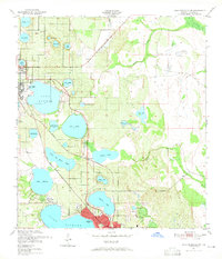
1952 Map of Lake Arbuckle SW
USGS Topo · Published 1965About this map
Highlands County citrus groves and freshwater lakes define this mid-century landscape between Avon Park and Sebring. The regional economy is evidenced by the dual presence of the Atlantic Coast Line and Seaboard Air Line railroads, which parallel the lakefronts to transport the area's agricultural yield. Water dominates the terrain, with large bodies like Lake Lotela and Lake Jackson providing focal points for early shoreline development.
Find a feature on this map
38 named features on this map. Tap any name to fly to it.
Don’t see what you’re looking for? This feature index may not catch every label — zoom into the map to look around manually.
Map Details
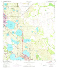
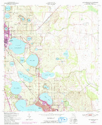
Editions of this 1952 Lake Arbuckle SW Map
4 editions found
Other maps of this area

1952 · Lake Arbuckle SW
USGS Topo · 1:24,000

1952 · Lake Arbuckle NE
USGS Topo · 1:24,000

1952 · Lake Arbuckle SE
USGS Topo · 1:24,000

1952 · Lake Arbuckle
USGS Topo · 1:24,000

1952 · Lorida
USGS Topo · 1:24,000

1952 · Sebring
USGS Topo · 1:24,000

1953 · Frostproof
USGS Topo · 1:24,000

1953 · Avon Park
USGS Topo · 1:24,000

1953 · Crewsville
USGS Topo · 1:24,000

1956 · Fort Pierce
USGS Topo · 1:250,000