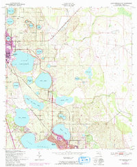
1952 Map of Lake Arbuckle SW
USGS Topo · Published 1993About this map
Highlands County's distinctive lake-strewn landscape is captured here during a period of mid-century growth, following field surveys by the U.S. Corps of Engineers. The map highlights the urban expansion of Avon Park and northern Sebring, with purple-tinted areas indicating development through the early 1970s. The region's citrus and residential economy is structured around an incredible density of water bodies, including the prominent Lake L-O-T-E-L-A, Lake Letta, and Dinner Lake.
Find a feature on this map
39 named features on this map. Tap any name to fly to it.
Don’t see what you’re looking for? This feature index may not catch every label — zoom into the map to look around manually.
Map Details
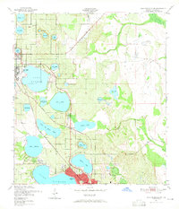
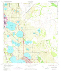
Editions of this 1952 Lake Arbuckle SW Map
4 editions found
Other maps of this area

1952 · Lake Arbuckle SW
USGS Topo · 1:24,000

1952 · Lake Arbuckle NE
USGS Topo · 1:24,000

1952 · Lake Arbuckle SE
USGS Topo · 1:24,000

1952 · Lake Arbuckle
USGS Topo · 1:24,000

1952 · Lorida
USGS Topo · 1:24,000

1952 · Sebring
USGS Topo · 1:24,000

1953 · Frostproof
USGS Topo · 1:24,000

1953 · Avon Park
USGS Topo · 1:24,000

1953 · Crewsville
USGS Topo · 1:24,000

1956 · Fort Pierce
USGS Topo · 1:250,000