Old Maps of Frostproof, Florida
Explore 29 old maps of Frostproof, spanning from 1952 to today. These high-resolution historic maps reveal how streets, neighborhoods, landmarks, and natural features evolved over time — perfect for genealogy, metal detecting, research, and local history exploration.
What you can do with these maps:
- See how Frostproof changed over time: Compare historical maps to modern-day views to trace roads, homesites, rail lines & more.
- View detailed metadata: Each map includes creators, publishers, year, scale, and archive source.
- Overlay maps with satellite & LiDAR: Visualize the past alongside modern tools to explore terrain & human change.
- Trusted historical sources: Maps sourced from the USGS, Library of Congress, and other archives.
- Access maps your way: View online, download high-res files, or order prints for personal or research use.
Start exploring old maps of Frostproof to uncover forgotten places, hidden landmarks, and the deep history beneath your feet.
Frostproof, FL maps
(29)- 1952 Map of Babson Park, 1953 Print
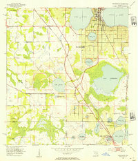
 1952 Babson Park1953 Print · USGSPolk County at mid-century reveals a landscape of citrus groves and interconnected lakes just as local infrastructure was expanding. Trace the routes of the Seaboard Air Line and find landmarks like Bethel Ch or the settlement at Frostproof.3 unique versions available
 - 1952 Map of Lake Arbuckle, 1953 Print
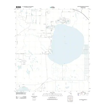
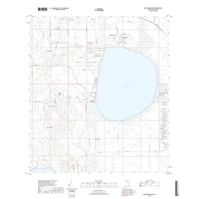
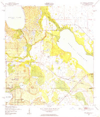 1952 Lake Arbuckle1953 Print · USGSThe Florida interior during the early fifties reveals a landscape shaped by military expansion and natural hydrology. Genealogists and historians can trace the U S Government Railroad and the small settlement of Alpine near Lake Pythias.3 unique versions available
 - 1952 Map of Lake Weohyakapka, 1953 Print
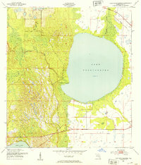 1952 Lake Weohyakapka1953 Print · USGSPolk County, Florida, in the early fifties shows a landscape of expansive wetlands and early rail transit. You can trace the path of the Seaboard Air Line Railroad and explore the natural margins of Tiger Creek Hammock and Blue Jordan Swamp.4 unique versions available
 - 1953 Map of Frostproof, 1954 Print
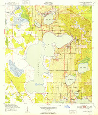
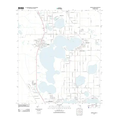
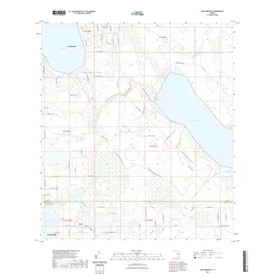
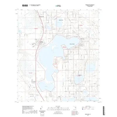
 1953 Frostproof1954 Print · USGSFrostproof and the surrounding Florida lake country are shown in the early fifties as the region's citrus and rail economy flourished. Researchers can trace the junction of the Seaboard Air Line and find rural landmarks like Maxcy Quarters and Corinth Ch.5 unique versions available
 - 1956 Map of Fort Pierce, 1965 Print
 1956 Fort Pierce1965 Print · USGSCentral and coastal Florida appear here during a period of rapid post-war growth and industrial expansion. Researchers can trace the mid-century rail-to-highway transition along the Sunshine State Parkway or locate old settlements like Ankona, Walton, and Indrio.4 unique versions available
 - 1958 Map of Fort Pierce
 1958 Fort Pierce1958 Print · USGSCentral and South Florida are captured here in the late fifties as the citrus and ranching interior met the modern highway era. Researchers can trace the early path of the Sunshine State Parkway and locate established rail depots in Sebring, Okeechobee, and Arcadia.
 - 1959 Map of Fort Pierce
 1959 Fort Pierce1959 Print · USGSCentral Florida and the Treasure Coast are shown here in the late fifties, during a period of steady citrus and coastal growth. Trace the historic routes of the Florida East Coast Ry or locate the boundaries of the Seminole Indian Reservation and Highlands Hammock State Park.3 unique versions available
 - 1978 Map of Bartow, 1980 Print
 1978 Bartow1980 Print · USGSCentral Florida during the late seventies was a landscape of industrial phosphate mines and expansive lake systems. Trace the legacy of the Seaboard Coast Line as it connects Fort Meade, Wauchula, and the massive Avon Park Bombing Range.2 unique versions available
 - 1988 Map of Fort Pierce
 1988 Fort Pierce1988 Print · USGSThe Atlantic coast and Florida’s interior lakelands are captured in the late eighties, just as the Treasure Coast was experiencing rapid development. Genealogists and historians can trace the rail lines of the Florida East Coast and explore the bounds of the Brighton Indian Reservation.
 - 2012 Map of Frostproof, 2012 Print
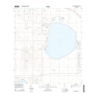
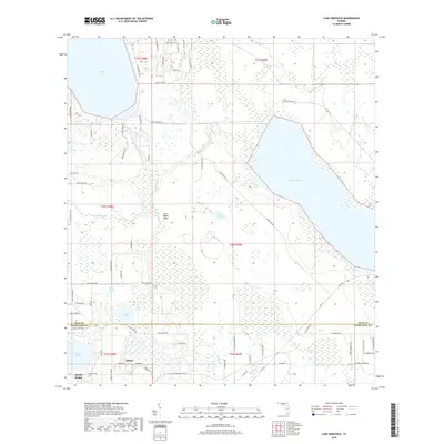
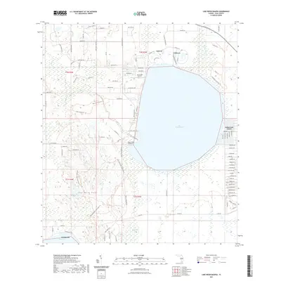
 2012 Frostproof2012 Print · USGSCovers Frostproof, including Avon Park, Sun Ray, and other nearby areas
 - 2012 Map of Lake Arbuckle, 2012 Print
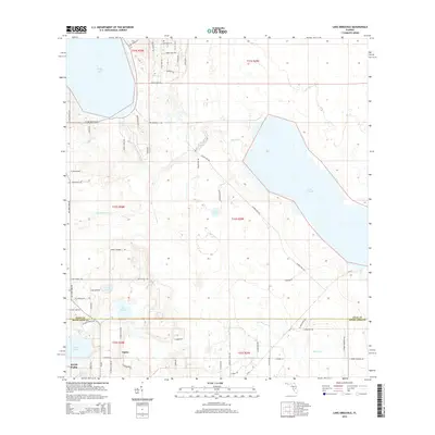
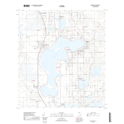
 2012 Lake Arbuckle2012 Print · USGSCovers Frostproof, including Avon Park, Alpine, and other nearby areas
 - 2012 Map of Babson Park, 2012 Print
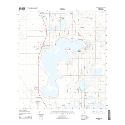
 2012 Babson Park2012 Print · USGSCovers Frostproof, including Lake Wales, Hillcrest Heights, and other nearby areas
 - 2012 Map of Lake Weohyakapka, 2012 Print
 2012 Lake Weohyakapka2012 Print · USGSCovers Frostproof, including Lakeshore, Indian Lake Estates, and other nearby areas
 - 2015 Map of Lake Arbuckle, 2015 Print
 2015 Lake Arbuckle2015 Print · USGSCovers Frostproof, including Avon Park, Alpine, and other nearby areas
 - 2015 Map of Lake Weohyakapka, 2015 Print
 2015 Lake Weohyakapka2015 Print · USGSCovers Frostproof, including Lakeshore, Indian Lake Estates, and other nearby areas
 - 2015 Map of Babson Park, 2015 Print
 2015 Babson Park2015 Print · USGSCovers Frostproof, including Lake Wales, Hillcrest Heights, and other nearby areas
 - 2015 Map of Frostproof, 2015 Print
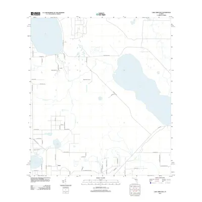
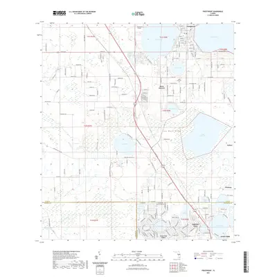
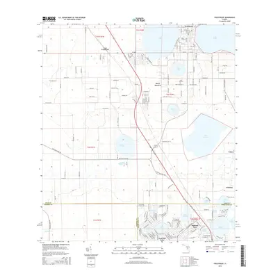 2015 Frostproof2015 Print · USGSCovers Frostproof, including Avon Park, Sun Ray, and other nearby areas
 - 2018 Map of Babson Park, 2018 Print
 2018 Babson Park2018 Print · USGSCovers Frostproof, including Lake Wales, Hillcrest Heights, and other nearby areas
 - 2018 Map of Frostproof, 2018 Print
 2018 Frostproof2018 Print · USGSCovers Frostproof, including Avon Park, Sun Ray, and other nearby areas
 - 2018 Map of Lake Arbuckle, 2018 Print
 2018 Lake Arbuckle2018 Print · USGSCovers Frostproof, including Avon Park, Alpine, and other nearby areas
 - 2018 Map of Lake Weohyakapka, 2018 Print
 2018 Lake Weohyakapka2018 Print · USGSCovers Frostproof, including Lakeshore, Indian Lake Estates, and other nearby areas
 - 2021 Map of Lake Arbuckle, 2021 Print
 2021 Lake Arbuckle2021 Print · USGSCovers Frostproof, including Avon Park, Alpine, and other nearby areas
 - 2021 Map of Frostproof, 2021 Print
 2021 Frostproof2021 Print · USGSCovers Frostproof, including Avon Park, Sun Ray, and other nearby areas
 - 2021 Map of Lake Weohyakapka, 2021 Print
 2021 Lake Weohyakapka2021 Print · USGSCovers Frostproof, including Lakeshore, Indian Lake Estates, and other nearby areas
 - 2021 Map of Babson Park, 2021 Print
 2021 Babson Park2021 Print · USGSCovers Frostproof, including Lake Wales, Hillcrest Heights, and other nearby areas
Showing maps 1-25 of 29
Top cities near Frostproof
- Winter Haven historical maps
- Lake Wales historical maps
- Avon Park historical maps
- Sebring historical maps
- Eagle Lake historical maps
- Hillcrest Heights historical maps
See more
Top neighborhoods of Frostproof
Frequently asked questions
- What are the different types of historical maps available for Frostproof?
- What is the oldest map of Frostproof?
- Where can I purchase historical maps of Frostproof for my home or office?
- Where can I download high-res historical maps of Frostproof?
- Are there historical topographic maps available for Frostproof?
- Is there historical aerial imagery available for Frostproof?
- Where are historical maps of Frostproof sourced from?