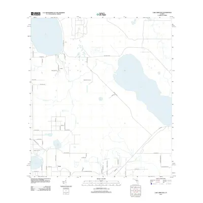
2012 Map of Lake Arbuckle
USGS Topo · Published 2012About this map
Lake Arbuckle and its surrounding wetlands define this landscape in the early 2010s, situated between the expansive waters of Reedy Lake to the northwest and a network of smaller lakes. The small settlement of Alpine sits in the southwest corner, marking a pocket of development amidst a region characterized by diverse water bodies like Lake Isabell, Lake David, and Lake Pythias. The landscape is etched with local history and industry, visible in the presence of the Rucks Dairy Airport and the tellingly named E Old Bombing Range Rd in the southern portion of the quadrangle.
Find a feature on this map
57 named features on this map. Tap any name to fly to it.
Don’t see what you’re looking for? This feature index may not catch every label — zoom into the map to look around manually.
Map Details
Editions of this 2012 Lake Arbuckle Map
This is the sole edition of this map. No revisions or reprints were ever made.
Other maps of this area

1952 · Lake Weohyakapka SE
USGS Topo · 1:24,000

1952 · Lake Arbuckle SW
USGS Topo · 1:24,000

1952 · Lake Arbuckle NE
USGS Topo · 1:24,000

1952 · Lake Arbuckle SE
USGS Topo · 1:24,000

1952 · Babson Park
USGS Topo · 1:24,000

1952 · Lake Arbuckle
USGS Topo · 1:24,000

1952 · Lake Weohyakapka
USGS Topo · 1:24,000

1953 · Frostproof
USGS Topo · 1:24,000

1953 · Avon Park
USGS Topo · 1:24,000

1956 · Fort Pierce
USGS Topo · 1:250,000