
1952 Map of Lake Weohyakapka SE
USGS Topo · Published 1953About this map
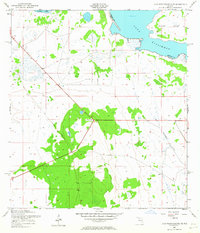
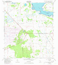
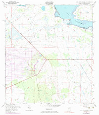
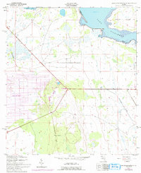
Lake Kissimmee and the northern shores of Brahma Island anchor this early 1950s survey of the Central Florida interior. The landscape is defined by the winding boundary between Osceola Co and Polk Co, which follows the river channel into the lake. Evidence of former industrial activity is visible in the form of an Old Railroad Grade cutting diagonally across the southwestern sections, likely a remnant of the region's logging or naval stores history. The terrain is a mix of wetlands and subtle elevation changes, with Tiger Lake appearing in the northwestern corner. This map documents a period before modern drainage and development significantly altered the hydrology of the upper Kissimmee River basin, preserving the placement of various benchmarks and surveyed section lines within the marshy lakefront environment.
Find a feature on this map
5 named features on this map. Tap any name to fly to it.
Don’t see what you’re looking for? This feature index may not catch every label — zoom into the map to look around manually.
Map Details
Editions of this 1952 Lake Weohyakapka SE Map
5 editions found
Other maps of this area

1952 · Lake Weohyakapka NE
USGS Topo · 1:24,000

1952 · Fort Kissimmee NW
USGS Topo · 1:24,000

1952 · Lake Arbuckle NE
USGS Topo · 1:24,000

1952 · Hesperides
USGS Topo · 1:24,000

1952 · Lake Arbuckle
USGS Topo · 1:24,000

1952 · Lake Weohyakapka
USGS Topo · 1:24,000

1953 · Lake Marian NW
USGS Topo · 1:24,000

1953 · Lake Marian SW
USGS Topo · 1:24,000

1956 · Fort Pierce
USGS Topo · 1:250,000

1958 · Fort Pierce
USGS Topo · 1:250,000