1952 Map of Lake Weohyakapka NE
USGS Topo · Published 1953About this map
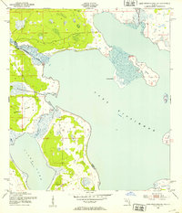
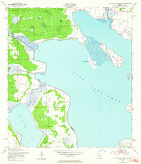
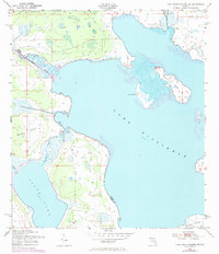
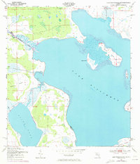
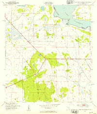
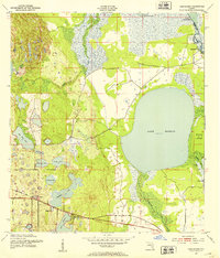
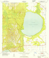
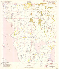
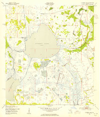
Lake Kissimmee and Tiger Lake dominate this 1950s interior Florida landscape, where the water levels and wetland boundaries represent the region's character prior to major modern channelization. The Kissimmee River meanders into the northwestern reach of the lake, creating a complex system of marshy inlets and low-lying landforms like Lemon Point. The survey, conducted by the Corps of Engineers and the Geological Survey, captures a series of notable named islands within the basin, including the large Sturm Island and Buster Island, alongside smaller features such as Rabbit Island and Bird Island. Positioned along the boundary of Osceola and Polk counties, the map documents the natural drainage through Tiger Creek and the southern reaches near Brahma Island, offering a look at this subtropical lake system before significant hydrological changes were implemented.
Find a feature on this map
11 named features on this map. Tap any name to fly to it.
Don’t see what you’re looking for? This feature index may not catch every label — zoom into the map to look around manually.
Map Details
Editions of this 1952 Lake Weohyakapka NE Map
4 editions found
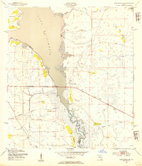
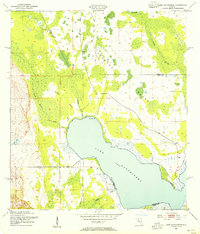
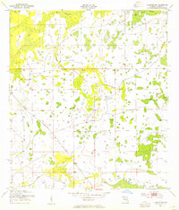
Other maps of this area
1952 · Lake Weohyakapka SE
USGS Topo · 1:24,000
1952 · Hesperides
USGS Topo · 1:24,000
1952 · Lake Weohyakapka
USGS Topo · 1:24,000
1953 · Lake Marian NW
USGS Topo · 1:24,000
1953 · Cypress Lake
USGS Topo · 1:24,000
1953 · Lake Marian SW
USGS Topo · 1:24,000
1953 · Lake Hatchineha
USGS Topo · 1:24,000
1953 · Holopaw SW
USGS Topo · 1:24,000

1955 · Orlando
USGS Topo · 1:250,000

1956 · Fort Pierce
USGS Topo · 1:250,000