
1953 Map of Lake Marian SW
USGS Topo · Published 1954About this map
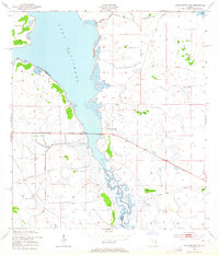
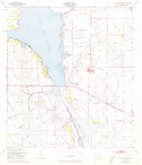
Brahma Island dominates the northern waters where the vast Lake Kissimmee begins to funnel into the southward-flowing Kissimmee River. This early 1950s survey by the U.S. Corps of Engineers details a landscape defined by expansive wetlands and seasonally flooded prairies at the border of Osceola and Polk Counties. The map reveals a distinct pattern of hammocks—elevated islands of hardwood vegetation amidst the marshes—bearing names like Redskin Hammock, Wildcat Hammock, and Buzzard Hammock. These features, along with a solitary Pumping Station and a notable Levee, indicate a period when water management efforts were actively shaping the drainage of central Florida. The presence of descriptively named waterways such as Buttermilk Slough and Ice Cream Slough suggests a landscape tied to local cattle ranching and agricultural history, while Blanket Bay marks the river's wider reaches before it enters its more channelized southern course.
Find a feature on this map
21 named features on this map. Tap any name to fly to it.
Don’t see what you’re looking for? This feature index may not catch every label — zoom into the map to look around manually.
Map Details
Editions of this 1953 Lake Marian SW Map
3 editions found
Other maps of this area

1952 · Lake Weohyakapka SE
USGS Topo · 1:24,000

1952 · Lake Weohyakapka NE
USGS Topo · 1:24,000

1952 · Fort Kissimmee NW
USGS Topo · 1:24,000

1952 · Lake Arbuckle NE
USGS Topo · 1:24,000

1953 · Lake Marian NW
USGS Topo · 1:24,000

1953 · Fort Kissimmee NE
USGS Topo · 1:24,000

1953 · Lake Marian SE
USGS Topo · 1:24,000

1953 · Lake Marian NE
USGS Topo · 1:24,000

1956 · Fort Pierce
USGS Topo · 1:250,000

1958 · Fort Pierce
USGS Topo · 1:250,000