1953 Map of Lake Marian SW
USGS Topo · Published 1964About this map
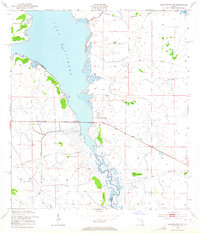
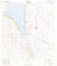
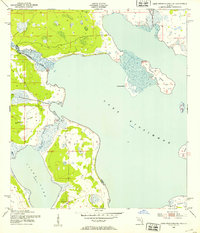
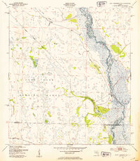
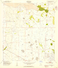
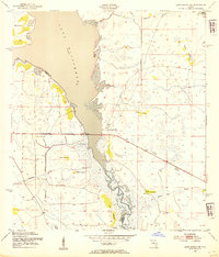
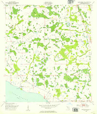
Lake Kissimmee dominates this mid-century landscape at the boundary of Osceola and Polk Counties. The eastern shore of the lake and the winding course of the Kissimmee River reveal a complex network of wetlands and seasonal watercourses, including the curiously named Buttermilk Slough, Packingham Slough, and Ice Cream Slough. These drainage patterns reflect the hydrological character of Central Florida before major modern alterations. Scattered across the marshy terrain are numerous named hammocks—elevated islands of hardwood vegetation—such as Brahma Island, Wildcat Hammock, and Turkey Hammock. A prominent Levee and a Pumping Station near the center of the sheet indicate early efforts to manage water levels in this cattle-ranching region. This survey captures a moment when the natural drainage of the Jackson Canal and the surrounding sloughs still dictated the movement of people and livestock through the territory.
Find a feature on this map
22 named features on this map. Tap any name to fly to it.
Don’t see what you’re looking for? This feature index may not catch every label — zoom into the map to look around manually.
Map Details
Editions of this 1953 Lake Marian SW Map
3 editions found
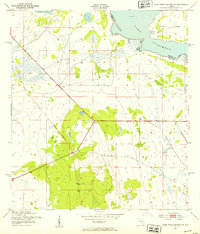
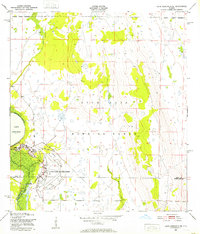
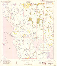
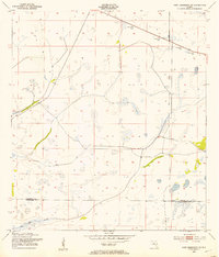
Other maps of this area
1952 · Lake Weohyakapka SE
USGS Topo · 1:24,000
1952 · Lake Weohyakapka NE
USGS Topo · 1:24,000
1952 · Fort Kissimmee NW
USGS Topo · 1:24,000
1952 · Lake Arbuckle NE
USGS Topo · 1:24,000
1953 · Lake Marian NW
USGS Topo · 1:24,000
1953 · Fort Kissimmee NE
USGS Topo · 1:24,000
1953 · Lake Marian SE
USGS Topo · 1:24,000
1953 · Lake Marian SW
USGS Topo · 1:24,000
1953 · Lake Marian NE
USGS Topo · 1:24,000

1956 · Fort Pierce
USGS Topo · 1:250,000