
1953 Map of Lake Marian NE
USGS Topo · Published 1954About this map
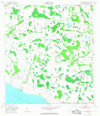
Lake Marian anchors this 1950s landscape in Osceola County, where the transition from cypress ponds to ranch land is clearly documented. The terrain is defined by a complex network of wetlands and seasonal water bodies, including Devils Elbow Swamp and the sprawling Tyner Slough. Human activity is concentrated around scattered homesteads and cattle operations such as Simmons Ranch, Rattlesnake Ranch, and Lucky L Ranch, reflecting the mid-century ranching economy of Central Florida. Transportation through these marshes relied on the Canoe Creek Road and an Old Railroad Grade that cuts across the northern section of the map. Local spiritual life is marked by the Lake View Ch located near the southern margin. The presence of a Gaging Station on the lake shore underscores the importance of water management in this low-lying region of the Kissimmee River basin.
Find a feature on this map
25 named features on this map. Tap any name to fly to it.
Don’t see what you’re looking for? This feature index may not catch every label — zoom into the map to look around manually.
Map Details
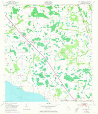
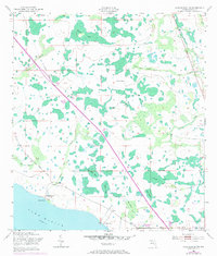
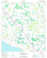
Editions of this 1953 Lake Marian NE Map
5 editions found
Other maps of this area

1953 · Lake Marian NW
USGS Topo · 1:24,000

1953 · Lake Marian SE
USGS Topo · 1:24,000

1953 · Holopaw SE
USGS Topo · 1:24,000

1953 · Kenansville SW
USGS Topo · 1:24,000

1953 · Lake Marian SW
USGS Topo · 1:24,000

1953 · Kenansville
USGS Topo · 1:24,000

1953 · Holopaw SW
USGS Topo · 1:24,000

1953 · Deer Park
USGS Topo · 1:24,000

1955 · Orlando
USGS Topo · 1:250,000

1956 · Fort Pierce
USGS Topo · 1:250,000