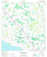
1953 Map of Lake Marian NE
USGS Topo · Published 1993About this map
Lake Marian anchors this Osceola County landscape, where the flat cypress and swamp terrain of central Florida meets mid-century ranching and infrastructure. The map reveals a transition from traditional land use at Simmons Ranch and Rattlesnake Ranch to the early residential development of Lake Marian Highlands along the northern shore. A striking diagonal bisects the area: Floridas Toll Turnpike, a modern transport corridor that runs parallel to an older Old Railroad Grade, illustrating the shift from rail to highway dependency in the 1950s.
Find a feature on this map
29 named features on this map. Tap any name to fly to it.
Don’t see what you’re looking for? This feature index may not catch every label — zoom into the map to look around manually.
Map Details
Editions of this 1953 Lake Marian NE Map
5 editions found
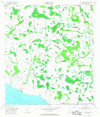
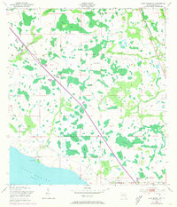
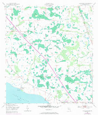
Other maps of this area

1953 · Lake Marian NW
USGS Topo · 1:24,000

1953 · Lake Marian SE
USGS Topo · 1:24,000

1953 · Holopaw SE
USGS Topo · 1:24,000

1953 · Kenansville SW
USGS Topo · 1:24,000

1953 · Lake Marian SW
USGS Topo · 1:24,000

1953 · Kenansville
USGS Topo · 1:24,000

1953 · Holopaw SW
USGS Topo · 1:24,000

1953 · Deer Park
USGS Topo · 1:24,000

1953 · Lake Marian NE
USGS Topo · 1:24,000

1955 · Orlando
USGS Topo · 1:250,000