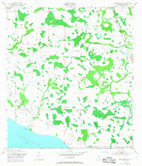
1953 Map of Lake Marian NE
USGS Topo · Published 1968About this map
Lake Marian borders a landscape of cypress ponds and cattle ranching in this early 1950s survey of Osceola County. The terrain is defined by a dense network of wetlands, including the Devils Elbow Swamp and Tyner Slough, which drain toward the larger lake to the south. Small, isolated settlements and family operations like Simmons Ranch, Rattlesnake Ranch, and Lucky L Ranch are scattered throughout the territory, while Camp Easy sits near the junction of Canoe Creek Road and a local Gaging Station. An Old Railroad Grade cuts diagonally across the northern sections, tracing a former path of commerce through the marshy interior. To the southeast, the Lake View Ch serves the small community along the shoreline, marking a point of social gravity in an otherwise sparse, rural environment dominated by water and grazing land.
Find a feature on this map
26 named features on this map. Tap any name to fly to it.
Don’t see what you’re looking for? This feature index may not catch every label — zoom into the map to look around manually.
Map Details
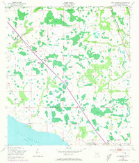
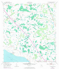
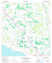
Editions of this 1953 Lake Marian NE Map
5 editions found
Other maps of this area

1953 · Lake Marian NW
USGS Topo · 1:24,000

1953 · Lake Marian SE
USGS Topo · 1:24,000

1953 · Holopaw SE
USGS Topo · 1:24,000

1953 · Kenansville SW
USGS Topo · 1:24,000

1953 · Lake Marian SW
USGS Topo · 1:24,000

1953 · Kenansville
USGS Topo · 1:24,000

1953 · Holopaw SW
USGS Topo · 1:24,000

1953 · Deer Park
USGS Topo · 1:24,000

1953 · Lake Marian NE
USGS Topo · 1:24,000

1955 · Orlando
USGS Topo · 1:250,000